Area Overview for NG16 4DT
Photos of NG16 4DT
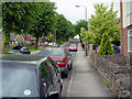

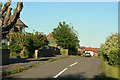
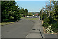
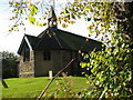
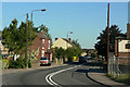
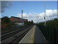
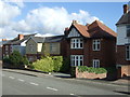
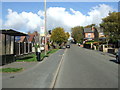
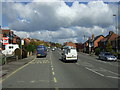


44 photos from this area
Area Information
Key information about the NG16 4DT including its size, population, and administrative classification.
- Area Type
- Postcode
- Area Size
- 1.2 hectares
- Population
- 2046
- Population Density
- 1263 people/km²
House Prices in NG16 4DT
41
Properties
£81,723
Average Sold Price
£19,000
Lowest Price
£179,500
Highest Price
Showing 41 properties
| Address | Type | Beds | Baths | Last Sale Price | Last Sale Date | |
|---|---|---|---|---|---|---|
| 44 Sedgwick Street, Langley Mill, Heanor, NG16 4DT | Semi-detached | 3 | 2 | £179,500 | Sep 2025 | |
| 11 Sedgwick Street, Langley Mill, Heanor, NG16 4DT | Terraced | 2 | 1 | £122,000 | Jan 2025 | |
| 15 Sedgwick Street, Langley Mill, Heanor, NG16 4DT | Terraced | 3 | 1 | £105,000 | Sep 2024 | |
| 26 Sedgwick Street, Langley Mill, Heanor, NG16 4DT | house | 3 | 1 | £147,500 | Oct 2023 | |
| 14 Sedgwick Street, Langley Mill, Heanor, NG16 4DT | house | - | - | £127,000 | Dec 2022 | |
| 32 Sedgwick Street, Langley Mill, Heanor, NG16 4DT | Terraced | 3 | 2 | £112,500 | Mar 2022 | |
| 16 Sedgwick Street, Langley Mill, Heanor, NG16 4DT | house | - | - | £110,000 | Nov 2021 | |
| 36 Sedgwick Street, Langley Mill, Heanor, NG16 4DT | Terraced | 3 | 1 | £107,500 | Oct 2020 | |
| 18 Sedgwick Street, Langley Mill, Heanor, NG16 4DT | house | - | - | £70,000 | Aug 2020 | |
| 42 Sedgwick Street, Langley Mill, Heanor, NG16 4DT | house | - | - | £135,000 | May 2020 |
Page 1 of 5
Energy Efficiency in NG16 4DT
Amenities
Schools
| Rank | School | Type | Entry gender | Ages |
|---|
Explore more schools in this area
Go to Schools tabDemographics
Household Size
One person
most common
Accommodation Type
Houses
most common
Tenure
46
majority
Ethnic Group
White
most common
Religion
N/A
most common
Household Composition
N/A
most common
Age
47
median
Adults (30-64 years)
most common
Household Deprivation
N/A
with no deprivation
NS-SEC
21
in Lower managerial occupations
Explore more demographic insights in this area
Go to Demographics tabPlanning
Planning Constraints
- Flood RiskPremium
- Ramsar Wetland SitesPremium
- Area of Outstanding Natural BeautyPremium
- Protected Nature ReservePremium
- Protected WoodlandPremium