Area Overview for NG16 3DW
Photos of NG16 3DW
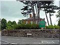
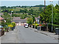
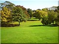

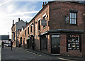
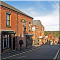
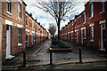
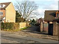
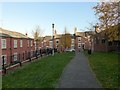
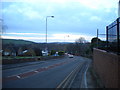
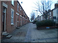
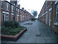
59 photos from this area
Area Information
Key information about the NG16 3DW including its size, population, and administrative classification.
- Area Type
- Postcode
- Area Size
- 21.2 hectares
- Population
- 1500
- Population Density
- 203 people/km²
House Prices in NG16 3DW
11
Properties
£200,875
Average Sold Price
£65,000
Lowest Price
£320,000
Highest Price
Showing 11 properties
| Address | Type | Beds | Baths | Last Sale Price | Last Sale Date | |
|---|---|---|---|---|---|---|
| 5 Mansfield Road, Nether Green, Eastwood, NG16 3DW | house | - | - | £263,000 | Dec 2025 | |
| 25 Mansfield Road, Nether Green, Eastwood, NG16 3DW | Terraced | 4 | 2 | £250,000 | Apr 2020 | |
| 18 Mansfield Road, Nether Green, Eastwood, NG16 3DW | Semi-detached | 3 | 1 | £280,000 | Sep 2018 | |
| 9 Mansfield Road, Nether Green, Eastwood, NG16 3DW | Detached | 4 | 3 | £320,000 | May 2018 | |
| 24 Mansfield Road, Nether Green, Eastwood, NG16 3DW | house | 2 | - | £103,000 | Jul 2012 | |
| 3 Mansfield Road, Nether Green, Eastwood, NG16 3DW | Terraced | - | - | £186,000 | Oct 2005 | |
| 2 Mansfield Road, Nether Green, Eastwood, NG16 3DW | Retail | 1 | 1 | £140,000 | Sep 2004 | |
| 1 Mansfield Road, Nether Green, Eastwood, NG16 3DW | Retail | 1 | 1 | £65,000 | Apr 2001 | |
| The Grange, Mansfield Road, Nether Green, Eastwood, NG16 3DW | Cottage | 3 | - | - | - | |
| Caravan, Grange Fields Farm, Mansfield Road, Eastwood, NG16 3DW | Mobile Home | - | - | - | - |
Page 1 of 2
Energy Efficiency in NG16 3DW
Amenities
Schools
| Rank | School | Type | Entry gender | Ages |
|---|
Explore more schools in this area
Go to Schools tabDemographics
Household Size
Two person
most common
Accommodation Type
Houses
most common
Tenure
86
majority
Ethnic Group
White
most common
Religion
N/A
most common
Household Composition
N/A
most common
Age
47
median
Adults (30-64 years)
most common
Household Deprivation
N/A
with no deprivation
NS-SEC
30
in Lower managerial occupations
Explore more demographic insights in this area
Go to Demographics tabPlanning
Planning Constraints
- Flood RiskPremium
- Ramsar Wetland SitesPremium
- Area of Outstanding Natural BeautyPremium
- Protected Nature ReservePremium
- Protected WoodlandPremium