Area Overview for NG16 3BG
Photos of NG16 3BG
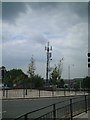
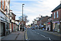
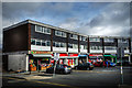
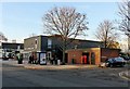
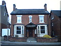
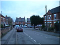
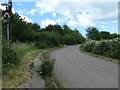
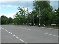
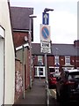
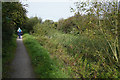
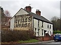
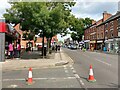
53 photos from this area
Area Information
Key information about the NG16 3BG including its size, population, and administrative classification.
- Area Type
- Postcode
- Area Size
- 5057 m²
- Population
- 1635
- Population Density
- 4118 people/km²
House Prices in NG16 3BG
13
Properties
£123,556
Average Sold Price
£50,000
Lowest Price
£270,000
Highest Price
Showing 13 properties
| Address | Type | Beds | Baths | Last Sale Price | Last Sale Date | |
|---|---|---|---|---|---|---|
| 4 Church Walk, Eastwood, NG16 3BG | Detached | 4 | 4 | £270,000 | Aug 2024 | |
| 15 Church Walk, Eastwood, NG16 3BG | house | - | - | £112,500 | Nov 2020 | |
| 9 Church Walk, Eastwood, NG16 3BG | Semi-detached | 3 | 1 | £132,000 | Aug 2019 | |
| 13 Church Walk, Eastwood, NG16 3BG | Semi-detached | 4 | 1 | £125,000 | May 2019 | |
| 3 Church Walk, Eastwood, NG16 3BG | house | - | - | £129,000 | Jul 2010 | |
| 11 Church Walk, Eastwood, NG16 3BG | Semi-detached | 3 | 1 | £105,000 | Jan 2008 | |
| 7 Church Walk, Eastwood, NG16 3BG | Semi-detached | 3 | 1 | £64,950 | Sep 2002 | |
| 5 Church Walk, Eastwood, NG16 3BG | house | - | - | £50,000 | Sep 2000 | |
| Flat Above, 2A Church Walk, Eastwood, NG16 3BG | Flat | - | - | - | - | |
| 6 Church Walk, Eastwood, NG16 3BG | Terraced | - | - | - | - |
Page 1 of 2
Energy Efficiency in NG16 3BG
Amenities
Schools
| Rank | School | Type | Entry gender | Ages |
|---|
Explore more schools in this area
Go to Schools tabDemographics
Household Size
One person
most common
Accommodation Type
Houses
most common
Tenure
53
majority
Ethnic Group
White
most common
Religion
N/A
most common
Household Composition
N/A
most common
Age
47
median
Adults (30-64 years)
most common
Household Deprivation
N/A
with no deprivation
NS-SEC
21
in Lower managerial occupations
Explore more demographic insights in this area
Go to Demographics tabPlanning
Planning Constraints
- Flood RiskPremium
- Ramsar Wetland SitesPremium
- Area of Outstanding Natural BeautyPremium
- Protected Nature ReservePremium
- Protected WoodlandPremium