Area Overview for NG16 2SH
Photos of NG16 2SH
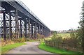
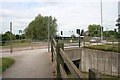
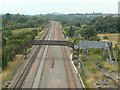
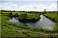
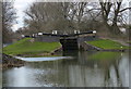
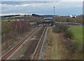
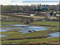
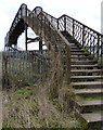
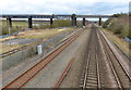
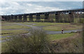
100 photos from this area
Area Information
Key information about the NG16 2SH including its size, population, and administrative classification.
- Area Type
- Postcode
- Area Size
- 2.9 hectares
- Population
- 2166
- Population Density
- 1457 people/km²
House Prices in NG16 2SH
43
Properties
£138,153
Average Sold Price
£36,000
Lowest Price
£325,000
Highest Price
Showing 43 properties
| Address | Type | Beds | Baths | Last Sale Price | Last Sale Date | |
|---|---|---|---|---|---|---|
| 23 The Glebe, Cossall, NG16 2SH | Semi-detached | 2 | 1 | £240,000 | Sep 2025 | |
| 67 The Glebe, Cossall, NG16 2SH | Semi-detached | 3 | 1 | £190,000 | Apr 2023 | |
| 55 The Glebe, Cossall, NG16 2SH | house | 5 | 2 | £243,000 | Oct 2022 | |
| 1A The Glebe, Cossall, NG16 2SH | Bungalow | 5 | 2 | £325,000 | Sep 2022 | |
| 5 The Glebe, Cossall, NG16 2SH | Semi-detached | 3 | 1 | £198,000 | Sep 2021 | |
| 51 The Glebe, Cossall, NG16 2SH | Semi-detached | 3 | 1 | £183,000 | Aug 2020 | |
| 9 The Glebe, Cossall, NG16 2SH | Semi-detached | 3 | 1 | £141,500 | Feb 2019 | |
| 1 The Glebe, Cossall, NG16 2SH | Semi-detached | 2 | - | £142,000 | Nov 2017 | |
| 57 The Glebe, Cossall, NG16 2SH | Semi-detached | 3 | 1 | £130,000 | Nov 2016 | |
| 71 The Glebe, Cossall, NG16 2SH | house | - | - | £130,000 | Mar 2016 |
Page 1 of 5
Energy Efficiency in NG16 2SH
Amenities
Schools
| Rank | School | Type | Entry gender | Ages |
|---|
Explore more schools in this area
Go to Schools tabDemographics
Household Size
Two person
most common
Accommodation Type
Houses
most common
Tenure
79
majority
Ethnic Group
White
most common
Religion
N/A
most common
Household Composition
N/A
most common
Age
47
median
Adults (30-64 years)
most common
Household Deprivation
N/A
with no deprivation
NS-SEC
27
in Lower managerial occupations
Explore more demographic insights in this area
Go to Demographics tabPlanning
Planning Constraints
- Flood RiskPremium
- Ramsar Wetland SitesPremium
- Area of Outstanding Natural BeautyPremium
- Protected Nature ReservePremium
- Protected WoodlandPremium