Area Overview for NG16 2SB
Photos of NG16 2SB
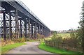
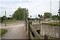

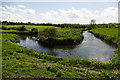
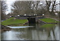
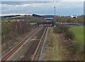
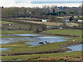

100 photos from this area
Area Information
Key information about the NG16 2SB including its size, population, and administrative classification.
- Area Type
- Postcode
- Area Size
- 6.5 hectares
- Population
- 1402
- Population Density
- 280 people/km²
House Prices in NG16 2SB
41
Properties
£136,432
Average Sold Price
£13,000
Lowest Price
£257,000
Highest Price
Showing 41 properties
| Address | Type | Beds | Baths | Last Sale Price | Last Sale Date | |
|---|---|---|---|---|---|---|
| 61 Newtons Lane, Cossall, NG16 2SB | Semi-detached | 3 | 1 | £240,000 | May 2024 | |
| 67 Newtons Lane, Cossall, NG16 2SB | Semi-detached | 3 | 1 | £250,000 | Oct 2023 | |
| 43 Newtons Lane, Cossall, NG16 2SB | house | - | - | £175,000 | Jun 2023 | |
| 49 Newtons Lane, Cossall, NG16 2SB | Semi-detached | 3 | 2 | £246,000 | May 2023 | |
| 69 Newtons Lane, Cossall, NG16 2SB | house | - | - | £210,000 | Mar 2021 | |
| 53 Newtons Lane, Cossall, NG16 2SB | Semi-detached | 3 | 1 | £200,000 | Jul 2020 | |
| 51 Newtons Lane, Cossall, NG16 2SB | Semi-detached | 3 | 1 | £184,950 | Jan 2020 | |
| 7 Newtons Lane, Cossall, NG16 2SB | Semi-detached | 4 | 2 | £257,000 | Aug 2017 | |
| 45 Newtons Lane, Cossall, NG16 2SB | Semi-detached | 2 | 2 | £145,000 | May 2015 | |
| 1 Newtons Lane, Cossall, NG16 2SB | Detached | 5 | - | £245,000 | Mar 2015 |
Page 1 of 5
Energy Efficiency in NG16 2SB
Amenities
Schools
| Rank | School | Type | Entry gender | Ages |
|---|
Explore more schools in this area
Go to Schools tabDemographics
Household Size
Two person
most common
Accommodation Type
Houses
most common
Tenure
78
majority
Ethnic Group
White
most common
Religion
N/A
most common
Household Composition
N/A
most common
Age
47
median
Adults (30-64 years)
most common
Household Deprivation
N/A
with no deprivation
NS-SEC
32
in Lower managerial occupations
Explore more demographic insights in this area
Go to Demographics tabPlanning
Planning Constraints
- Flood RiskPremium
- Ramsar Wetland SitesPremium
- Area of Outstanding Natural BeautyPremium
- Protected Nature ReservePremium
- Protected WoodlandPremium