Area Overview for NG16 1EB
Photos of NG16 1EB
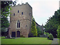
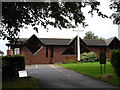
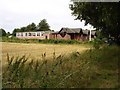
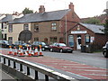
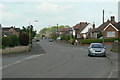
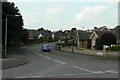
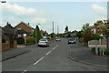
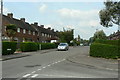
32 photos from this area
Area Information
Key information about the NG16 1EB including its size, population, and administrative classification.
- Area Type
- Postcode
- Area Size
- 3.4 hectares
- Population
- 1655
- Population Density
- 1348 people/km²
House Prices in NG16 1EB
39
Properties
£252,461
Average Sold Price
£86,500
Lowest Price
£440,000
Highest Price
Showing 39 properties
| Address | Type | Beds | Baths | Last Sale Price | Last Sale Date | |
|---|---|---|---|---|---|---|
| 54 Philip Avenue, Nuthall, NG16 1EB | Bungalow | 3 | 1 | £315,000 | Oct 2024 | |
| 52 Philip Avenue, Nuthall, NG16 1EB | Retail | 3 | 2 | £277,500 | Mar 2023 | |
| 55 Philip Avenue, Nuthall, NG16 1EB | Bungalow | 3 | 1 | £291,000 | Feb 2023 | |
| 69 Philip Avenue, Nuthall, NG16 1EB | Retail | 4 | 2 | £355,000 | Dec 2022 | |
| 49 Philip Avenue, Nuthall, NG16 1EB | Bungalow | 3 | 2 | £440,000 | Mar 2022 | |
| 83 Philip Avenue, Nuthall, NG16 1EB | Detached | 5 | - | £405,000 | Mar 2021 | |
| 63 Philip Avenue, Nuthall, NG16 1EB | Bungalow | 3 | 1 | £290,000 | Sep 2020 | |
| 79 Philip Avenue, Nuthall, NG16 1EB | Detached | 6 | 1 | £400,000 | Jan 2019 | |
| 66 Philip Avenue, Nuthall, NG16 1EB | Bungalow | 2 | 1 | £218,500 | Sep 2018 | |
| 73 Philip Avenue, Nuthall, NG16 1EB | Detached | 6 | 3 | £325,000 | Sep 2017 |
Page 1 of 4
Energy Efficiency in NG16 1EB
Amenities
Schools
| Rank | School | Type | Entry gender | Ages |
|---|
Explore more schools in this area
Go to Schools tabDemographics
Household Size
Two person
most common
Accommodation Type
Houses
most common
Tenure
88
majority
Ethnic Group
White
most common
Religion
N/A
most common
Household Composition
N/A
most common
Age
47
median
Adults (30-64 years)
most common
Household Deprivation
N/A
with no deprivation
NS-SEC
39
in Lower managerial occupations
Explore more demographic insights in this area
Go to Demographics tabPlanning
Planning Constraints
- Flood RiskPremium
- Ramsar Wetland SitesPremium
- Area of Outstanding Natural BeautyPremium
- Protected Nature ReservePremium
- Protected WoodlandPremium