Area Overview for NG15 8GA
Photos of NG15 8GA
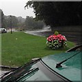
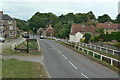
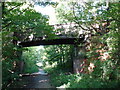
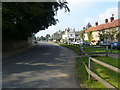
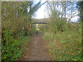
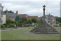
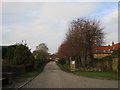
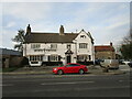
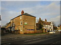
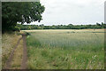
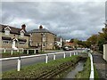
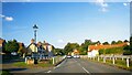
71 photos from this area
Area Information
Key information about the NG15 8GA including its size, population, and administrative classification.
- Area Type
- Postcode
- Area Size
- 1.1 km²
- Population
- 2712
- Population Density
- 122 people/km²
House Prices in NG15 8GA
5
Properties
£80,000
Average Sold Price
£80,000
Lowest Price
£80,000
Highest Price
Showing 5 properties
| Address | Type | Beds | Baths | Last Sale Price | Last Sale Date | |
|---|---|---|---|---|---|---|
| Keepers Cottage, Quarry Lane, Linby, NG15 8GA | Detached | - | - | £80,000 | Jun 1997 | |
| Boat And Machinery Store, Quarry Lane, Linby, NG15 8GA | warehouse | - | - | - | - | |
| Weir Mill, Quarry Lane, Linby, NG15 8GA | Detached | - | - | - | - | |
| R H Hardstaffs, Stone Quarry, Quarry Lane, Linby, NG15 8GA | Industrial | - | - | - | - | |
| Trent Stone And Walling Ltd, Quarry Lane, Linby, NG15 8GA | Industrial | - | - | - | - |
Energy Efficiency in NG15 8GA
Amenities
Schools
| Rank | School | Type | Entry gender | Ages |
|---|
Explore more schools in this area
Go to Schools tabDemographics
Household Size
Two person
most common
Accommodation Type
Houses
most common
Tenure
76
majority
Ethnic Group
White
most common
Religion
N/A
most common
Household Composition
N/A
most common
Age
47
median
Adults (30-64 years)
most common
Household Deprivation
N/A
with no deprivation
NS-SEC
37
in Lower managerial occupations
Explore more demographic insights in this area
Go to Demographics tabPlanning
Planning Constraints
- Flood RiskPremium
- Ramsar Wetland SitesPremium
- Area of Outstanding Natural BeautyPremium
- Protected Nature ReservePremium
- Protected WoodlandPremium