Area Overview for NG15 8DZ
Photos of NG15 8DZ
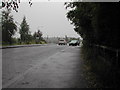
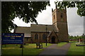
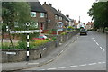
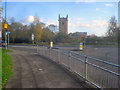
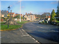
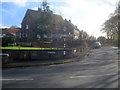
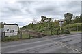
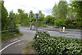
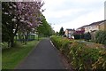
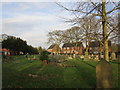
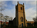
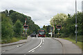
58 photos from this area
Area Information
Key information about the NG15 8DZ including its size, population, and administrative classification.
- Area Type
- Postcode
- Area Size
- 8357 m²
- Population
- 1423
- Population Density
- 3479 people/km²
House Prices in NG15 8DZ
15
Properties
£142,750
Average Sold Price
£64,250
Lowest Price
£227,500
Highest Price
Showing 15 properties
| Address | Type | Beds | Baths | Last Sale Price | Last Sale Date | |
|---|---|---|---|---|---|---|
| 180 Church Lane, Hucknall, NG15 8DZ | Semi-detached | 4 | 2 | £196,000 | Jun 2017 | |
| 206 Church Lane, Hucknall, NG15 8DZ | house | 4 | - | £227,500 | Jan 2015 | |
| 200 Church Lane, Hucknall, NG15 8DZ | Detached | 4 | 1 | £210,000 | Oct 2014 | |
| 208 Church Lane, Hucknall, NG15 8DZ | Detached | - | - | £199,950 | Oct 2008 | |
| 202 Church Lane, Hucknall, NG15 8DZ | Detached | - | - | £220,000 | Apr 2007 | |
| 212 Church Lane, Hucknall, NG15 8DZ | Detached | - | - | £184,950 | Jun 2005 | |
| 194 Church Lane, Hucknall, NG15 8DZ | Detached | - | - | £220,000 | Sep 2004 | |
| 198 Church Lane, Hucknall, NG15 8DZ | Detached | - | - | £98,000 | Nov 2000 | |
| 182 Church Lane, Hucknall, NG15 8DZ | house | 3 | - | £64,250 | Dec 1998 | |
| 210 Church Lane, Hucknall, NG15 8DZ | Detached | 4 | 2 | £89,250 | Feb 1998 |
Page 1 of 2
Energy Efficiency in NG15 8DZ
Amenities
Schools
| Rank | School | Type | Entry gender | Ages |
|---|
Explore more schools in this area
Go to Schools tabDemographics
Household Size
Two person
most common
Accommodation Type
Houses
most common
Tenure
94
majority
Ethnic Group
White
most common
Religion
N/A
most common
Household Composition
N/A
most common
Age
47
median
Adults (30-64 years)
most common
Household Deprivation
N/A
with no deprivation
NS-SEC
33
in Lower managerial occupations
Explore more demographic insights in this area
Go to Demographics tabPlanning
Planning Constraints
- Flood RiskPremium
- Ramsar Wetland SitesPremium
- Area of Outstanding Natural BeautyPremium
- Protected Nature ReservePremium
- Protected WoodlandPremium