Area Overview for NG15 7RA
Photos of NG15 7RA
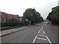
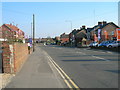
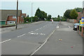
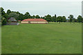
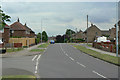
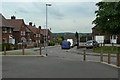
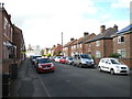
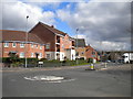
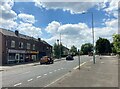
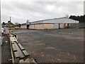
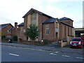
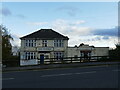
47 photos from this area
Area Information
Key information about the NG15 7RA including its size, population, and administrative classification.
- Area Type
- Postcode
- Area Size
- 6011 m²
- Population
- 2272
- Population Density
- 4640 people/km²
House Prices in NG15 7RA
20
Properties
£169,429
Average Sold Price
£100,000
Lowest Price
£249,000
Highest Price
Showing 20 properties
| Address | Type | Beds | Baths | Last Sale Price | Last Sale Date | |
|---|---|---|---|---|---|---|
| 127 Beardall Street, Hucknall, NG15 7RA | Detached | 3 | 1 | £215,000 | Jan 2025 | |
| 131 Beardall Street, Hucknall, NG15 7RA | Detached | 3 | - | £225,000 | Apr 2022 | |
| 125 Beardall Street, Hucknall, NG15 7RA | Detached | - | - | £150,000 | May 2017 | |
| 139A Beardall Street, Hucknall, NG15 7RA | Detached | 2 | 1 | £119,000 | Aug 2016 | |
| 123 Beardall Street, Hucknall, NG15 7RA | Semi-detached | 3 | - | £100,000 | Feb 2011 | |
| 135 Beardall Street, Hucknall, NG15 7RA | Detached | - | - | £249,000 | Aug 2005 | |
| 121 Beardall Street, Hucknall, NG15 7RA | Detached | 3 | 1 | £128,000 | Sep 2003 | |
| Unit 2, Belper House, 137 Beardall Street, Hucknall, NG15 7RA | Flat | - | - | - | - | |
| Unit 4, Belper House, 137 Beardall Street, Hucknall, NG15 7RA | Flat | - | - | - | - | |
| Flat 1, 137 Beardall Street, Hucknall, NG15 7RA | Flat | - | - | - | - |
Page 1 of 2
Energy Efficiency in NG15 7RA
Amenities
Schools
| Rank | School | Type | Entry gender | Ages |
|---|
Explore more schools in this area
Go to Schools tabDemographics
Household Size
Family (3-5 people)
most common
Accommodation Type
Houses
most common
Tenure
57
majority
Ethnic Group
White
most common
Religion
N/A
most common
Household Composition
N/A
most common
Age
47
median
Adults (30-64 years)
most common
Household Deprivation
N/A
with no deprivation
NS-SEC
28
in Lower managerial occupations
Explore more demographic insights in this area
Go to Demographics tabPlanning
Planning Constraints
- Flood RiskPremium
- Ramsar Wetland SitesPremium
- Area of Outstanding Natural BeautyPremium
- Protected Nature ReservePremium
- Protected WoodlandPremium