Area Overview for NG15 7GE
Photos of NG15 7GE
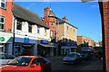
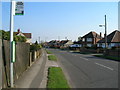
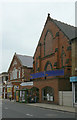
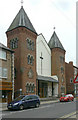
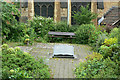
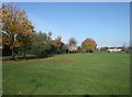
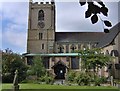
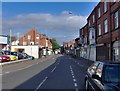
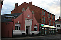
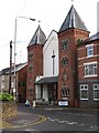
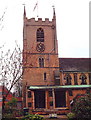
100 photos from this area
Area Information
Key information about the NG15 7GE including its size, population, and administrative classification.
- Area Type
- Postcode
- Area Size
- 4874 m²
- Population
- 2072
- Population Density
- 6545 people/km²
House Prices in NG15 7GE
35
Properties
£139,250
Average Sold Price
£50,000
Lowest Price
£240,000
Highest Price
Showing 35 properties
| Address | Type | Beds | Baths | Last Sale Price | Last Sale Date | |
|---|---|---|---|---|---|---|
| 76 Derbyshire Lane, Hucknall, NG15 7GE | Terraced | 3 | 1 | £167,500 | Sep 2024 | |
| 118 Derbyshire Lane, Hucknall, NG15 7GE | Terraced | 4 | 1 | £215,000 | Oct 2023 | |
| 84 Derbyshire Lane, Hucknall, NG15 7GE | Terraced | 1 | 1 | £176,500 | Oct 2023 | |
| 106 Derbyshire Lane, Hucknall, NG15 7GE | Retail | 3 | 1 | £235,000 | Aug 2022 | |
| 102 Derbyshire Lane, Hucknall, NG15 7GE | house | - | - | £240,000 | Jan 2021 | |
| 78 Derbyshire Lane, Hucknall, NG15 7GE | house | - | - | £137,500 | Jun 2020 | |
| 108 Derbyshire Lane, Hucknall, NG15 7GE | house | 3 | - | £119,000 | Aug 2018 | |
| 114 Derbyshire Lane, Hucknall, NG15 7GE | Terraced | 1 | 1 | £140,000 | Nov 2017 | |
| 88 Derbyshire Lane, Hucknall, NG15 7GE | Terraced | 3 | 1 | £138,000 | Nov 2017 | |
| 94 Derbyshire Lane, Hucknall, NG15 7GE | house | - | - | £136,000 | Sep 2017 |
Page 1 of 4
Energy Efficiency in NG15 7GE
Amenities
Schools
| Rank | School | Type | Entry gender | Ages |
|---|
Explore more schools in this area
Go to Schools tabDemographics
Household Size
One person
most common
Accommodation Type
Houses
most common
Tenure
53
majority
Ethnic Group
White
most common
Religion
N/A
most common
Household Composition
N/A
most common
Age
47
median
Adults (30-64 years)
most common
Household Deprivation
N/A
with no deprivation
NS-SEC
24
in Lower managerial occupations
Explore more demographic insights in this area
Go to Demographics tabPlanning
Planning Constraints
- Flood RiskPremium
- Ramsar Wetland SitesPremium
- Area of Outstanding Natural BeautyPremium
- Protected Nature ReservePremium
- Protected WoodlandPremium