Area Overview for NG15 7AL
Photos of NG15 7AL
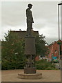
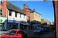
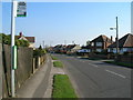
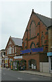
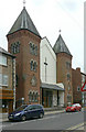
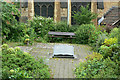
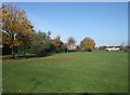

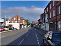
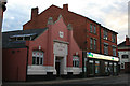
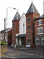
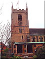
100 photos from this area
Area Information
Key information about the NG15 7AL including its size, population, and administrative classification.
- Area Type
- Postcode
- Area Size
- 7055 m²
- Population
- 1518
- Population Density
- 6690 people/km²
House Prices in NG15 7AL
41
Properties
£98,477
Average Sold Price
£33,000
Lowest Price
£203,000
Highest Price
Showing 41 properties
| Address | Type | Beds | Baths | Last Sale Price | Last Sale Date | |
|---|---|---|---|---|---|---|
| 59 Co Operative Avenue, Hucknall, NG15 7AL | Terraced | 3 | 2 | £203,000 | Feb 2024 | |
| 41 Co Operative Avenue, Hucknall, NG15 7AL | Terraced | 2 | 1 | £170,000 | Jan 2023 | |
| 53 Co Operative Avenue, Hucknall, NG15 7AL | Terraced | 3 | - | £198,000 | Dec 2020 | |
| 57 Co Operative Avenue, Hucknall, NG15 7AL | house | 3 | - | £195,000 | Aug 2019 | |
| 29 Co Operative Avenue, Hucknall, NG15 7AL | Terraced | 3 | 1 | £79,000 | Jun 2019 | |
| 31 Co Operative Avenue, Hucknall, NG15 7AL | Terraced | 4 | 1 | £182,000 | Feb 2019 | |
| 55 Co Operative Avenue, Hucknall, NG15 7AL | house | - | - | £121,500 | Aug 2017 | |
| 69 Co Operative Avenue, Hucknall, NG15 7AL | Terraced | - | - | £111,000 | Oct 2016 | |
| 11 Co Operative Avenue, Hucknall, NG15 7AL | house | - | - | £112,500 | Apr 2016 | |
| 65 Co Operative Avenue, Hucknall, NG15 7AL | Terraced | 2 | - | £85,000 | Sep 2015 |
Page 1 of 5
Energy Efficiency in NG15 7AL
Amenities
Schools
| Rank | School | Type | Entry gender | Ages |
|---|
Explore more schools in this area
Go to Schools tabDemographics
Household Size
One person
most common
Accommodation Type
Houses
most common
Tenure
55
majority
Ethnic Group
White
most common
Religion
N/A
most common
Household Composition
N/A
most common
Age
47
median
Adults (30-64 years)
most common
Household Deprivation
N/A
with no deprivation
NS-SEC
27
in Lower managerial occupations
Explore more demographic insights in this area
Go to Demographics tabPlanning
Planning Constraints
- Flood RiskPremium
- Ramsar Wetland SitesPremium
- Area of Outstanding Natural BeautyPremium
- Protected Nature ReservePremium
- Protected WoodlandPremium