Area Overview for NG15 6QN
Photos of NG15 6QN
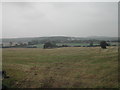
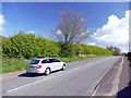
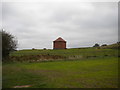
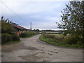
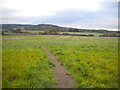
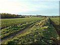
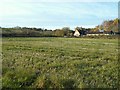
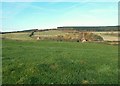
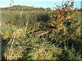
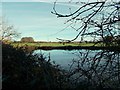
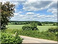
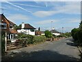
24 photos from this area
Area Information
Key information about the NG15 6QN including its size, population, and administrative classification.
- Area Type
- Postcode
- Area Size
- 29.9 hectares
- Population
- 1455
- Population Density
- 1654 people/km²
House Prices in NG15 6QN
32
Properties
£254,645
Average Sold Price
£86,995
Lowest Price
£450,000
Highest Price
Showing 32 properties
| Address | Type | Beds | Baths | Last Sale Price | Last Sale Date | |
|---|---|---|---|---|---|---|
| 30 Whyburn Lane, Hucknall, NG15 6QN | Detached | 3 | 1 | £387,500 | Sep 2021 | |
| 2 Whyburn Lane, Hucknall, NG15 6QN | house | - | - | £250,000 | Jun 2021 | |
| 7 Whyburn Lane, Hucknall, NG15 6QN | house | - | - | £380,000 | Mar 2021 | |
| 34 Whyburn Lane, Hucknall, NG15 6QN | Detached | 3 | 1 | £416,000 | Jan 2020 | |
| 22 Whyburn Lane, Hucknall, NG15 6QN | Detached | 3 | 1 | £330,000 | Sep 2017 | |
| High Rigg, 13 Whyburn Lane, Hucknall, NG15 6QN | Detached | 3 | - | £330,000 | Feb 2016 | |
| 5 Whyburn Lane, Hucknall, NG15 6QN | house | 3 | - | £230,000 | May 2012 | |
| 16 Whyburn Lane, Hucknall, NG15 6QN | house | 3 | - | £207,400 | Dec 2011 | |
| Carmay, 9 Whyburn Lane, Hucknall, NG15 6QN | Detached | - | - | £450,000 | Oct 2007 | |
| 8 Whyburn Lane, Hucknall, NG15 6QN | Semi-detached | 3 | 1 | £196,500 | Feb 2007 |
Page 1 of 4
Energy Efficiency in NG15 6QN
Amenities
Schools
| Rank | School | Type | Entry gender | Ages |
|---|
Explore more schools in this area
Go to Schools tabDemographics
Household Size
Two person
most common
Accommodation Type
Houses
most common
Tenure
90
majority
Ethnic Group
White
most common
Religion
N/A
most common
Household Composition
N/A
most common
Age
47
median
Adults (30-64 years)
most common
Household Deprivation
N/A
with no deprivation
NS-SEC
28
in Lower managerial occupations
Explore more demographic insights in this area
Go to Demographics tabPlanning
Planning Constraints
- Flood RiskPremium
- Ramsar Wetland SitesPremium
- Area of Outstanding Natural BeautyPremium
- Protected Nature ReservePremium
- Protected WoodlandPremium