Area Overview for NG15 6PX
Photos of NG15 6PX
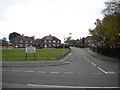
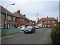
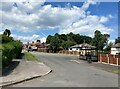
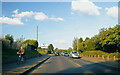

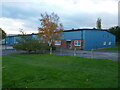
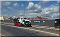
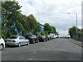
34 photos from this area
Area Information
Key information about the NG15 6PX including its size, population, and administrative classification.
- Area Type
- Postcode
- Area Size
- 4.0 hectares
- Population
- 1455
- Population Density
- 1654 people/km²
House Prices in NG15 6PX
12
Properties
£139,000
Average Sold Price
£37,000
Lowest Price
£237,000
Highest Price
Showing 12 properties
| Address | Type | Beds | Baths | Last Sale Price | Last Sale Date | |
|---|---|---|---|---|---|---|
| 53 Hillcrest Drive, Hucknall, NG15 6PX | Detached | 3 | 1 | £237,000 | Aug 2024 | |
| 44 Hillcrest Drive, Hucknall, NG15 6PX | Semi-detached | 3 | 1 | £225,000 | Aug 2022 | |
| 51 Hillcrest Drive, Hucknall, NG15 6PX | house | - | - | £187,000 | Nov 2017 | |
| 46 Hillcrest Drive, Hucknall, NG15 6PX | Semi-detached | 2 | 1 | £105,000 | Sep 2014 | |
| Springwater, Hillcrest Drive, Hucknall, NG15 6PX | education | - | - | £126,000 | Jul 2001 | |
| 47 Hillcrest Drive, Hucknall, NG15 6PX | Semi-detached | - | - | £37,000 | May 1998 | |
| 55 Hillcrest Drive, Hucknall, NG15 6PX | Detached | - | - | £56,000 | Jun 1995 | |
| 49 Hillcrest Drive, Hucknall, NG15 6PX | Semi-detached | - | - | - | - | |
| Proglaze, 50 Hillcrest Drive, Hucknall, NG15 6PX | Detached | - | - | - | - | |
| 52 Hillcrest Drive, Hucknall, NG15 6PX | Detached | - | - | - | - |
Page 1 of 2
Energy Efficiency in NG15 6PX
Amenities
Schools
| Rank | School | Type | Entry gender | Ages |
|---|
Explore more schools in this area
Go to Schools tabDemographics
Household Size
Two person
most common
Accommodation Type
Houses
most common
Tenure
90
majority
Ethnic Group
White
most common
Religion
N/A
most common
Household Composition
N/A
most common
Age
47
median
Adults (30-64 years)
most common
Household Deprivation
N/A
with no deprivation
NS-SEC
28
in Lower managerial occupations
Explore more demographic insights in this area
Go to Demographics tabPlanning
Planning Constraints
- Flood RiskPremium
- Ramsar Wetland SitesPremium
- Area of Outstanding Natural BeautyPremium
- Protected Nature ReservePremium
- Protected WoodlandPremium