Area Overview for NG15 6HY
Photos of NG15 6HY
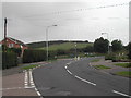
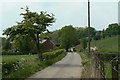
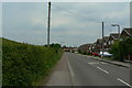
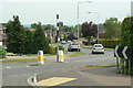
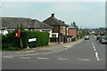
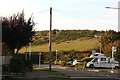
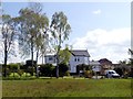
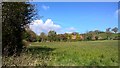
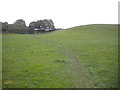
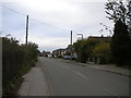
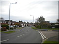
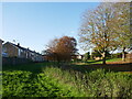
37 photos from this area
Area Information
Key information about the NG15 6HY including its size, population, and administrative classification.
- Area Type
- Postcode
- Area Size
- 1.7 hectares
- Population
- 1316
- Population Density
- 6670 people/km²
House Prices in NG15 6HY
52
Properties
£152,272
Average Sold Price
£55,950
Lowest Price
£279,000
Highest Price
Showing 52 properties
| Address | Type | Beds | Baths | Last Sale Price | Last Sale Date | |
|---|---|---|---|---|---|---|
| 63 Edgewood Drive, Hucknall, NG15 6HY | Detached | 3 | 1 | £279,000 | Nov 2024 | |
| 38 Edgewood Drive, Hucknall, NG15 6HY | Semi-detached | 3 | 1 | £225,000 | May 2024 | |
| 45 Edgewood Drive, Hucknall, NG15 6HY | house | - | - | £265,000 | Dec 2021 | |
| 32 Edgewood Drive, Hucknall, NG15 6HY | house | 3 | - | £195,000 | May 2021 | |
| 50 Edgewood Drive, Hucknall, NG15 6HY | Detached | 3 | 1 | £210,000 | Jul 2018 | |
| 77 Edgewood Drive, Hucknall, NG15 6HY | Detached | 3 | 1 | £175,000 | Oct 2016 | |
| 73 Edgewood Drive, Hucknall, NG15 6HY | Detached | 4 | - | £180,000 | Aug 2014 | |
| 54 Edgewood Drive, Hucknall, NG15 6HY | Detached | 3 | 1 | £135,000 | Jun 2014 | |
| 83 Edgewood Drive, Hucknall, NG15 6HY | Detached | 3 | - | £140,000 | May 2013 | |
| 18 Edgewood Drive, Hucknall, NG15 6HY | Detached | 3 | 1 | £110,000 | Feb 2013 |
Page 1 of 6
Energy Efficiency in NG15 6HY
Amenities
Schools
| Rank | School | Type | Entry gender | Ages |
|---|
Explore more schools in this area
Go to Schools tabDemographics
Household Size
Two person
most common
Accommodation Type
Houses
most common
Tenure
90
majority
Ethnic Group
White
most common
Religion
N/A
most common
Household Composition
N/A
most common
Age
47
median
Adults (30-64 years)
most common
Household Deprivation
N/A
with no deprivation
NS-SEC
28
in Lower managerial occupations
Explore more demographic insights in this area
Go to Demographics tabPlanning
Planning Constraints
- Flood RiskPremium
- Ramsar Wetland SitesPremium
- Area of Outstanding Natural BeautyPremium
- Protected Nature ReservePremium
- Protected WoodlandPremium