Area Overview for NG15 6FF
Photos of NG15 6FF
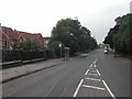
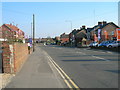
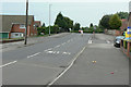
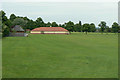
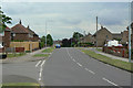
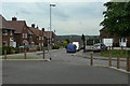
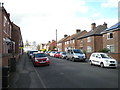
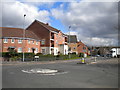
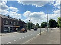
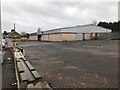
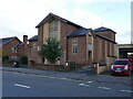
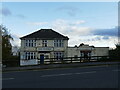
47 photos from this area
Area Information
Key information about the NG15 6FF including its size, population, and administrative classification.
- Area Type
- Postcode
- Area Size
- 1.5 hectares
- Population
- 1477
- Population Density
- 5069 people/km²
House Prices in NG15 6FF
45
Properties
£125,742
Average Sold Price
£39,000
Lowest Price
£280,000
Highest Price
Showing 45 properties
| Address | Type | Beds | Baths | Last Sale Price | Last Sale Date | |
|---|---|---|---|---|---|---|
| 54 Brookfield Avenue, Hucknall, NG15 6FF | house | - | - | £280,000 | Feb 2025 | |
| 71 Brookfield Avenue, Hucknall, NG15 6FF | Semi-detached | 3 | - | £180,000 | Dec 2023 | |
| 97 Brookfield Avenue, Hucknall, NG15 6FF | house | - | - | £278,000 | Aug 2023 | |
| 101 Brookfield Avenue, Hucknall, NG15 6FF | house | - | - | £200,000 | Jul 2023 | |
| 55 Brookfield Avenue, Hucknall, NG15 6FF | house | - | - | £200,000 | Apr 2022 | |
| 64 Brookfield Avenue, Hucknall, NG15 6FF | house | 3 | 1 | £200,000 | Apr 2022 | |
| 99 Brookfield Avenue, Hucknall, NG15 6FF | Semi-detached | 3 | 1 | £153,000 | Jul 2018 | |
| 42 Brookfield Avenue, Hucknall, NG15 6FF | Semi-detached | 3 | 1 | £150,000 | Feb 2018 | |
| 83 Brookfield Avenue, Hucknall, NG15 6FF | house | - | - | £137,500 | Jun 2015 | |
| 89 Brookfield Avenue, Hucknall, NG15 6FF | house | 3 | - | £145,000 | Dec 2014 |
Page 1 of 5
Energy Efficiency in NG15 6FF
Amenities
Schools
| Rank | School | Type | Entry gender | Ages |
|---|
Explore more schools in this area
Go to Schools tabDemographics
Household Size
Two person
most common
Accommodation Type
Houses
most common
Tenure
80
majority
Ethnic Group
White
most common
Religion
N/A
most common
Household Composition
N/A
most common
Age
47
median
Adults (30-64 years)
most common
Household Deprivation
N/A
with no deprivation
NS-SEC
22
in Lower managerial occupations
Explore more demographic insights in this area
Go to Demographics tabPlanning
Planning Constraints
- Flood RiskPremium
- Ramsar Wetland SitesPremium
- Area of Outstanding Natural BeautyPremium
- Protected Nature ReservePremium
- Protected WoodlandPremium