Area Overview for NG15 0DW
Photos of NG15 0DW
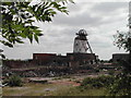
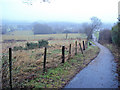
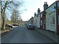

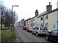

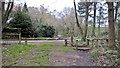
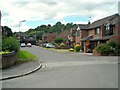
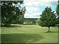
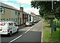
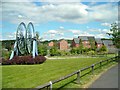
51 photos from this area
Area Information
Key information about the NG15 0DW including its size, population, and administrative classification.
- Area Type
- Postcode
- Area Size
- 5.1 hectares
- Population
- 2406
- Population Density
- 2079 people/km²
House Prices in NG15 0DW
74
Properties
£180,002
Average Sold Price
£109,995
Lowest Price
£331,000
Highest Price
Showing 74 properties
| Address | Type | Beds | Baths | Last Sale Price | Last Sale Date | |
|---|---|---|---|---|---|---|
| 8 Owston Road, Annesley, NG15 0DW | Detached | 3 | 1 | £215,000 | Dec 2024 | |
| 79 Owston Road, Annesley, NG15 0DW | Detached | 4 | 2 | £331,000 | Oct 2024 | |
| 26 Owston Road, Annesley, NG15 0DW | Terraced | 3 | 1 | £182,500 | Oct 2023 | |
| 39 Owston Road, Annesley, NG15 0DW | Semi-detached | 4 | 2 | £230,500 | Dec 2022 | |
| 75 Owston Road, Annesley, NG15 0DW | Detached | 4 | 2 | £300,000 | Jun 2022 | |
| 16 Owston Road, Annesley, NG15 0DW | Detached | 4 | 2 | £222,500 | Jan 2021 | |
| 69 Owston Road, Annesley, NG15 0DW | Detached | 4 | 2 | £224,995 | Sep 2020 | |
| 49 Owston Road, Annesley, NG15 0DW | Semi-detached | 3 | 2 | £186,500 | Aug 2019 | |
| 30 Owston Road, Annesley, NG15 0DW | Semi-detached | 3 | 2 | £181,000 | Jul 2019 | |
| 37 Owston Road, Annesley, NG15 0DW | Terraced | 2 | 1 | £130,000 | Feb 2019 |
Page 1 of 8
Energy Efficiency in NG15 0DW
Amenities
Schools
| Rank | School | Type | Entry gender | Ages |
|---|
Explore more schools in this area
Go to Schools tabDemographics
Household Size
Two person
most common
Accommodation Type
Houses
most common
Tenure
87
majority
Ethnic Group
White
most common
Religion
N/A
most common
Household Composition
N/A
most common
Age
47
median
Adults (30-64 years)
most common
Household Deprivation
N/A
with no deprivation
NS-SEC
32
in Lower managerial occupations
Explore more demographic insights in this area
Go to Demographics tabPlanning
Planning Constraints
- Flood RiskPremium
- Ramsar Wetland SitesPremium
- Area of Outstanding Natural BeautyPremium
- Protected Nature ReservePremium
- Protected WoodlandPremium