Area Overview for NG14 6FG
Photos of NG14 6FG
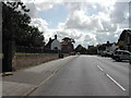
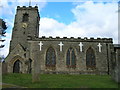
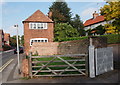
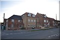
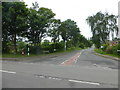
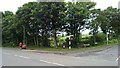
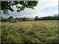
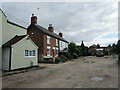
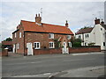
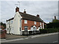
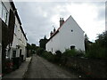
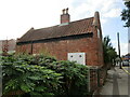
100 photos from this area
Area Information
Key information about the NG14 6FG including its size, population, and administrative classification.
- Area Type
- Postcode
- Area Size
- 3.4 hectares
- Population
- 1124
- Population Density
- 841 people/km²
House Prices in NG14 6FG
21
Properties
£259,146
Average Sold Price
£132,000
Lowest Price
£475,000
Highest Price
Showing 21 properties
| Address | Type | Beds | Baths | Last Sale Price | Last Sale Date | |
|---|---|---|---|---|---|---|
| 85 Main Street, Calverton, NG14 6FG | Semi-detached | 2 | 1 | £188,000 | Oct 2022 | |
| 67A Main Street, Calverton, NG14 6FG | Cottage | 2 | - | £159,000 | May 2021 | |
| 111 Main Street, Calverton, NG14 6FG | house | - | - | £365,000 | Mar 2021 | |
| 75 Main Street, Calverton, NG14 6FG | Cottage | 2 | 1 | £272,500 | Nov 2020 | |
| 93 Main Street, Calverton, NG14 6FG | Detached | 4 | 1 | £380,000 | Jan 2019 | |
| 73 Main Street, Calverton, NG14 6FG | Cottage | 2 | 1 | £132,000 | Sep 2018 | |
| 133 Main Street, Calverton, NG14 6FG | house | 6 | 3 | £475,000 | Aug 2017 | |
| 53 Main Street, Calverton, NG14 6FG | house | 2 | - | £161,250 | Jun 2012 | |
| 89 Main Street, Calverton, NG14 6FG | house | - | - | £207,500 | Dec 2006 | |
| 67 Main Street, Calverton, NG14 6FG | Semi-detached | - | - | £397,000 | May 2006 |
Page 1 of 3
Energy Efficiency in NG14 6FG
Amenities
Schools
| Rank | School | Type | Entry gender | Ages |
|---|
Explore more schools in this area
Go to Schools tabDemographics
Household Size
Two person
most common
Accommodation Type
Houses
most common
Tenure
90
majority
Ethnic Group
White
most common
Religion
N/A
most common
Household Composition
N/A
most common
Age
47
median
Adults (30-64 years)
most common
Household Deprivation
N/A
with no deprivation
NS-SEC
43
in Lower managerial occupations
Explore more demographic insights in this area
Go to Demographics tabPlanning
Planning Constraints
- Flood RiskPremium
- Ramsar Wetland SitesPremium
- Area of Outstanding Natural BeautyPremium
- Protected Nature ReservePremium
- Protected WoodlandPremium