Area Overview for NG14 6EF
Photos of NG14 6EF
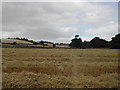
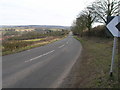
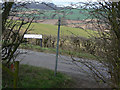
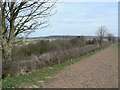
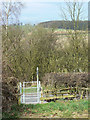
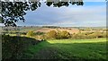
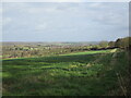
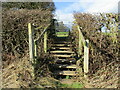
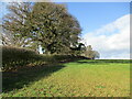
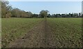
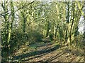
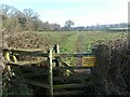
35 photos from this area
Area Information
Key information about the NG14 6EF including its size, population, and administrative classification.
- Area Type
- Postcode
- Area Size
- 1.0 km²
- Population
- 2493
- Population Density
- 276 people/km²
House Prices in NG14 6EF
31
Properties
£512,076
Average Sold Price
£74,950
Lowest Price
£2,175,000
Highest Price
Showing 31 properties
| Address | Type | Beds | Baths | Last Sale Price | Last Sale Date | |
|---|---|---|---|---|---|---|
| 30 Bank Hill, Woodborough, NG14 6EF | Cottage | 3 | 3 | £300,000 | Jul 2025 | |
| 4 Bank Hill, Woodborough, NG14 6EF | Bungalow | - | - | £920,000 | Jun 2025 | |
| 42 Bank Hill, Woodborough, NG14 6EF | Detached | 5 | 6 | £2,175,000 | Oct 2022 | |
| 20 Bank Hill, Woodborough, NG14 6EF | house | 2 | 1 | £185,000 | Dec 2019 | |
| 10 Bank Hill, Woodborough, NG14 6EF | Detached | 6 | 3 | £1,000,000 | Jun 2018 | |
| Woodvale, Bank Hill, Woodborough, NG14 6EF | Detached | 5 | 3 | £430,000 | Aug 2017 | |
| 12 Bank Hill, Woodborough, NG14 6EF | Bungalow | 5 | 3 | £650,000 | Aug 2017 | |
| Bank Hill House, Bank Hill, Woodborough, NG14 6EF | Detached | 2 | 2 | £570,000 | Nov 2016 | |
| Greenvale, Bank Hill, Woodborough, NG14 6EF | Semi-detached | 4 | 3 | £670,000 | Jul 2016 | |
| 14 Bank Hill, Woodborough, NG14 6EF | Bungalow | 4 | - | £458,000 | Nov 2013 |
Page 1 of 4
Energy Efficiency in NG14 6EF
Amenities
Schools
| Rank | School | Type | Entry gender | Ages |
|---|
Explore more schools in this area
Go to Schools tabDemographics
Household Size
Two person
most common
Accommodation Type
Houses
most common
Tenure
86
majority
Ethnic Group
White
most common
Religion
N/A
most common
Household Composition
N/A
most common
Age
47
median
Adults (30-64 years)
most common
Household Deprivation
N/A
with no deprivation
NS-SEC
42
in Lower managerial occupations
Explore more demographic insights in this area
Go to Demographics tabPlanning
Planning Constraints
- Flood RiskPremium
- Ramsar Wetland SitesPremium
- Area of Outstanding Natural BeautyPremium
- Protected Nature ReservePremium
- Protected WoodlandPremium