Area Overview for NG14 6AE
Photos of NG14 6AE
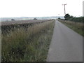
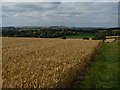

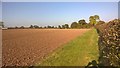
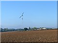
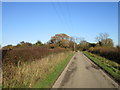
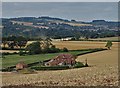
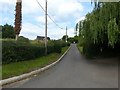
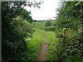
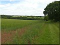
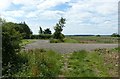
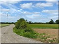
35 photos from this area
Area Information
Key information about the NG14 6AE including its size, population, and administrative classification.
- Area Type
- Postcode
- Area Size
- 63.8 hectares
- Population
- 2290
- Population Density
- 123 people/km²
House Prices in NG14 6AE
45
Properties
£551,375
Average Sold Price
£60,000
Lowest Price
£1,675,000
Highest Price
Showing 45 properties
| Address | Type | Beds | Baths | Last Sale Price | Last Sale Date | |
|---|---|---|---|---|---|---|
| Meadow Cottage, Chapel Lane, Epperstone, NG14 6AE | Detached | 4 | 1 | £150,000 | Sep 2025 | |
| The Poplars, Chapel Lane, Epperstone, NG14 6AE | Detached | 5 | 3 | £900,000 | Dec 2024 | |
| Chapel Farm, Chapel Lane, Epperstone, NG14 6AE | Detached | - | - | £336,000 | May 2021 | |
| The Old Chapel, Chapel Lane, Epperstone, NG14 6AE | house | - | - | £416,000 | May 2021 | |
| Garden Cottage, Chapel Lane, Epperstone, NG14 6AE | Detached | - | - | £470,000 | Nov 2020 | |
| The Manor, Chapel Lane, Epperstone, NG14 6AE | house | - | - | £1,200,000 | Sep 2020 | |
| Swan Cottage, Chapel Lane, Epperstone, NG14 6AE | Semi-detached | 3 | - | £294,000 | Feb 2019 | |
| The Elms, Chapel Lane, Epperstone, NG14 6AE | Detached | 4 | 2 | £525,000 | Apr 2018 | |
| Beech House, Chapel Lane, Epperstone, NG14 6AE | house | - | - | £595,000 | Jan 2018 | |
| Whitegates, Chapel Lane, Epperstone, NG14 6AE | Detached | 5 | 5 | £1,675,000 | Dec 2017 |
Page 1 of 5
Energy Efficiency in NG14 6AE
Amenities
Schools
| Rank | School | Type | Entry gender | Ages |
|---|
Explore more schools in this area
Go to Schools tabDemographics
Household Size
Two person
most common
Accommodation Type
Houses
most common
Tenure
76
majority
Ethnic Group
White
most common
Religion
N/A
most common
Household Composition
N/A
most common
Age
47
median
Adults (30-64 years)
most common
Household Deprivation
N/A
with no deprivation
NS-SEC
25
in Lower managerial occupations
Explore more demographic insights in this area
Go to Demographics tabPlanning
Planning Constraints
- Flood RiskPremium
- Ramsar Wetland SitesPremium
- Area of Outstanding Natural BeautyPremium
- Protected Nature ReservePremium
- Protected WoodlandPremium