Area Overview for NG14 5GT
Photos of NG14 5GT
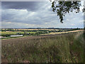
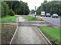
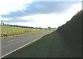
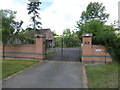
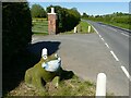
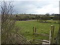
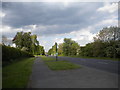


12 photos from this area
Area Information
Key information about the NG14 5GT including its size, population, and administrative classification.
- Area Type
- Postcode
- Area Size
- 99.3 hectares
- Population
- 1519
- Population Density
- 209 people/km²
House Prices in NG14 5GT
11
Properties
£446,250
Average Sold Price
£165,000
Lowest Price
£595,000
Highest Price
Showing 11 properties
| Address | Type | Beds | Baths | Last Sale Price | Last Sale Date | |
|---|---|---|---|---|---|---|
| Sibthorpe House, Nottingham Road, Bulcote, NG14 5GT | Detached | 4 | 3 | £545,000 | Oct 2018 | |
| Kingswood Paddock, Old Main Road, Bulcote, NG14 5GT | Detached | 4 | 2 | £595,000 | Dec 2016 | |
| Longmead, Old Main Road, Bulcote, NG14 5GT | Bungalow | - | - | £480,000 | Oct 2011 | |
| Ashwood House, Nottingham Road, Bulcote, NG14 5GT | Detached | - | - | £165,000 | Nov 1999 | |
| Kingswood, Old Main Road, Bulcote, NG14 5GT | Detached | 6 | 4 | - | - | |
| Paddock View, Nottingham Road, Bulcote, NG14 5GT | Semi-detached | 4 | - | - | - | |
| The Hayloft, Nottingham Road, Bulcote, NG14 5GT | house | 4 | 3 | - | - | |
| Dumbles Farm, Nottingham Road, Bulcote, NG14 5GT | Detached | - | - | - | - | |
| The Paddock, Nottingham Road, Bulcote, NG14 5GT | Detached | - | - | - | - | |
| Mumby House, Nottingham Road, Bulcote, NG14 5GT | Detached | - | - | - | - |
Page 1 of 2
Energy Efficiency in NG14 5GT
Amenities
Schools
| Rank | School | Type | Entry gender | Ages |
|---|
Explore more schools in this area
Go to Schools tabDemographics
Household Size
Two person
most common
Accommodation Type
Houses
most common
Tenure
89
majority
Ethnic Group
White
most common
Religion
N/A
most common
Household Composition
N/A
most common
Age
47
median
Adults (30-64 years)
most common
Household Deprivation
N/A
with no deprivation
NS-SEC
45
in Lower managerial occupations
Explore more demographic insights in this area
Go to Demographics tabPlanning
Planning Constraints
- Flood RiskPremium
- Ramsar Wetland SitesPremium
- Area of Outstanding Natural BeautyPremium
- Protected Nature ReservePremium
- Protected WoodlandPremium