Area Overview for NG14 5GD
Photos of NG14 5GD
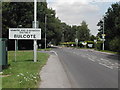
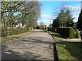
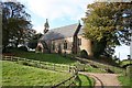
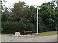
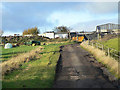
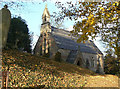
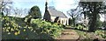
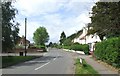

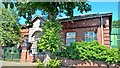
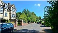
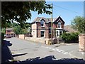
70 photos from this area
Area Information
Key information about the NG14 5GD including its size, population, and administrative classification.
- Area Type
- Postcode
- Area Size
- 2.1 hectares
- Population
- 1627
- Population Density
- 927 people/km²
House Prices in NG14 5GD
40
Properties
£208,248
Average Sold Price
£57,000
Lowest Price
£400,000
Highest Price
Showing 40 properties
| Address | Type | Beds | Baths | Last Sale Price | Last Sale Date | |
|---|---|---|---|---|---|---|
| 101 Church Road, Burton Joyce, NG14 5GD | Semi-detached | 4 | 1 | £400,000 | Jul 2025 | |
| 95 Church Road, Burton Joyce, NG14 5GD | Semi-detached | 3 | 1 | £233,000 | Jan 2024 | |
| 85 Church Road, Burton Joyce, NG14 5GD | house | - | - | £317,500 | Jan 2022 | |
| 97 Church Road, Burton Joyce, NG14 5GD | Detached | 3 | 1 | £239,000 | Mar 2020 | |
| 77 Church Road, Burton Joyce, NG14 5GD | Detached | 3 | 1 | £302,000 | Oct 2019 | |
| 59A Church Road, Burton Joyce, NG14 5GD | Bungalow | 2 | 2 | £340,000 | Aug 2018 | |
| 93 Church Road, Burton Joyce, NG14 5GD | house | - | - | £330,000 | Jul 2018 | |
| 87 Church Road, Burton Joyce, NG14 5GD | house | - | - | £237,500 | Apr 2018 | |
| 79 Church Road, Burton Joyce, NG14 5GD | house | - | - | £249,000 | May 2017 | |
| 45 Church Road, Burton Joyce, NG14 5GD | house | - | - | £225,000 | Dec 2016 |
Page 1 of 4
Energy Efficiency in NG14 5GD
Amenities
Schools
| Rank | School | Type | Entry gender | Ages |
|---|
Explore more schools in this area
Go to Schools tabDemographics
Household Size
Two person
most common
Accommodation Type
Houses
most common
Tenure
85
majority
Ethnic Group
White
most common
Religion
N/A
most common
Household Composition
N/A
most common
Age
47
median
Adults (30-64 years)
most common
Household Deprivation
N/A
with no deprivation
NS-SEC
42
in Lower managerial occupations
Explore more demographic insights in this area
Go to Demographics tabPlanning
Planning Constraints
- Flood RiskPremium
- Ramsar Wetland SitesPremium
- Area of Outstanding Natural BeautyPremium
- Protected Nature ReservePremium
- Protected WoodlandPremium