Area Overview for NG13 9EQ
Photos of NG13 9EQ
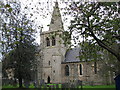
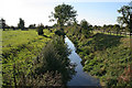
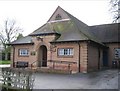
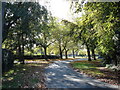
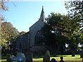
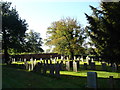
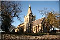
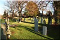
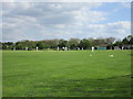
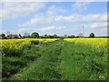
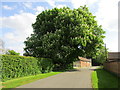
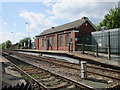
81 photos from this area
Area Information
Key information about the NG13 9EQ including its size, population, and administrative classification.
- Area Type
- Postcode
- Area Size
- 2.3 hectares
- Population
- 2979
- Population Density
- 187 people/km²
House Prices in NG13 9EQ
16
Properties
£277,750
Average Sold Price
£121,000
Lowest Price
£455,000
Highest Price
Showing 16 properties
| Address | Type | Beds | Baths | Last Sale Price | Last Sale Date | |
|---|---|---|---|---|---|---|
| Pen Tan Cottage, 7 Burton Lane, Whatton, NG13 9EQ | house | 3 | - | £387,500 | May 2020 | |
| Wood Vale, Burton Lane, Whatton, NG13 9EQ | Bungalow | - | - | £310,000 | Jan 2018 | |
| 1 Burton Lane, Whatton, NG13 9EQ | Bungalow | - | - | £275,000 | Aug 2011 | |
| Olivants Cottage, Burton Lane, Whatton, NG13 9EQ | Detached | 3 | 2 | £455,000 | Jan 2007 | |
| Cedarwood, Burton Lane, Whatton, NG13 9EQ | Bungalow | - | - | £295,000 | Jul 2004 | |
| Gables Cottage, Burton Lane, Whatton, NG13 9EQ | Cottage | 3 | 2 | £185,000 | Dec 2002 | |
| The Old Vicarage, Burton Lane, Whatton, NG13 9EQ | Detached | - | - | £425,000 | Mar 2001 | |
| Little Acre, Burton Lane, Whatton, NG13 9EQ | Detached | - | - | £184,000 | Mar 2000 | |
| 17 Burton Lane, Whatton, NG13 9EQ | Detached | 3 | 2 | £140,000 | Feb 2000 | |
| Penrose, 4 Burton Lane, Whatton, NG13 9EQ | house | 4 | 2 | £121,000 | Dec 1998 |
Page 1 of 2
Energy Efficiency in NG13 9EQ
Amenities
Schools
| Rank | School | Type | Entry gender | Ages |
|---|
Explore more schools in this area
Go to Schools tabDemographics
Household Size
Two person
most common
Accommodation Type
Houses
most common
Tenure
83
majority
Ethnic Group
White
most common
Religion
N/A
most common
Household Composition
N/A
most common
Age
47
median
Adults (30-64 years)
most common
Household Deprivation
N/A
with no deprivation
NS-SEC
35
in Lower managerial occupations
Explore more demographic insights in this area
Go to Demographics tabPlanning
Planning Constraints
- Flood RiskPremium
- Ramsar Wetland SitesPremium
- Area of Outstanding Natural BeautyPremium
- Protected Nature ReservePremium
- Protected WoodlandPremium