Area Overview for NG13 8NG
Photos of NG13 8NG
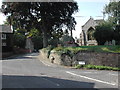
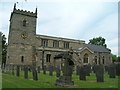
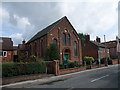
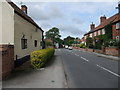
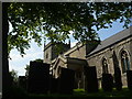
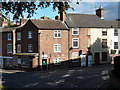
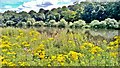
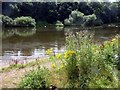
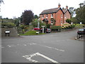
78 photos from this area
Area Information
Key information about the NG13 8NG including its size, population, and administrative classification.
- Area Type
- Postcode
- Area Size
- 3.7 hectares
- Population
- 2144
- Population Density
- 90 people/km²
House Prices in NG13 8NG
62
Properties
£153,531
Average Sold Price
£58,000
Lowest Price
£210,000
Highest Price
Showing 62 properties
| Address | Type | Beds | Baths | Last Sale Price | Last Sale Date | |
|---|---|---|---|---|---|---|
| 49 Holloway Close, East Bridgford, NG13 8NG | Maisonette | 2 | 1 | £70,000 | Aug 2025 | |
| 14 Holloway Close, East Bridgford, NG13 8NG | Terraced | 2 | 1 | £200,000 | May 2025 | |
| 29 Holloway Close, East Bridgford, NG13 8NG | Terraced | 3 | 1 | £210,000 | Feb 2025 | |
| 13 Holloway Close, East Bridgford, NG13 8NG | house | - | - | £170,000 | Apr 2024 | |
| 11 Holloway Close, East Bridgford, NG13 8NG | Semi-detached | 2 | 1 | £195,000 | Nov 2022 | |
| 3 Holloway Close, East Bridgford, NG13 8NG | Semi-detached | 3 | 1 | £210,000 | Sep 2019 | |
| 9 Holloway Close, East Bridgford, NG13 8NG | Semi-detached | 2 | 1 | £165,000 | Sep 2018 | |
| 18 Holloway Close, East Bridgford, NG13 8NG | house | - | - | £160,000 | Dec 2017 | |
| 4 Holloway Close, East Bridgford, NG13 8NG | house | - | - | £179,950 | Jan 2015 | |
| 25 Holloway Close, East Bridgford, NG13 8NG | house | - | - | £123,000 | Oct 2012 |
Page 1 of 7
Energy Efficiency in NG13 8NG
Amenities
Schools
| Rank | School | Type | Entry gender | Ages |
|---|
Explore more schools in this area
Go to Schools tabDemographics
Household Size
Two person
most common
Accommodation Type
Houses
most common
Tenure
79
majority
Ethnic Group
White
most common
Religion
N/A
most common
Household Composition
N/A
most common
Age
47
median
Adults (30-64 years)
most common
Household Deprivation
N/A
with no deprivation
NS-SEC
49
in Lower managerial occupations
Explore more demographic insights in this area
Go to Demographics tabPlanning
Planning Constraints
- Flood RiskPremium
- Ramsar Wetland SitesPremium
- Area of Outstanding Natural BeautyPremium
- Protected Nature ReservePremium
- Protected WoodlandPremium