Area Overview for NG12 5HZ
Photos of NG12 5HZ
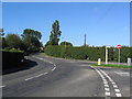
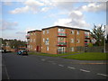
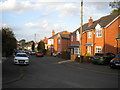
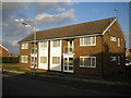
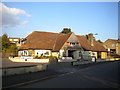
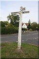
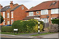
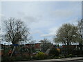
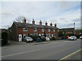
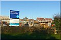
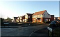
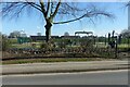
46 photos from this area
Area Information
Key information about the NG12 5HZ including its size, population, and administrative classification.
- Area Type
- Postcode
- Area Size
- 1.5 hectares
- Population
- 1739
- Population Density
- 899 people/km²
House Prices in NG12 5HZ
10
Properties
£293,994
Average Sold Price
£151,000
Lowest Price
£399,950
Highest Price
Showing 10 properties
| Address | Type | Beds | Baths | Last Sale Price | Last Sale Date | |
|---|---|---|---|---|---|---|
| 36 Debdale Lane, Keyworth, NG12 5HZ | Bungalow | - | - | £330,000 | Nov 2020 | |
| 34 Debdale Lane, Keyworth, NG12 5HZ | Bungalow | 4 | 1 | £330,000 | Jun 2019 | |
| Risewood, 46 Debdale Lane, Keyworth, NG12 5HZ | Bungalow | 2 | 1 | £270,000 | May 2019 | |
| 32 Debdale Lane, Keyworth, NG12 5HZ | Detached | 3 | 1 | £399,950 | Oct 2018 | |
| 38 Debdale Lane, Keyworth, NG12 5HZ | Bungalow | 3 | - | £325,000 | Jul 2015 | |
| 28 Debdale Lane, Keyworth, NG12 5HZ | Bungalow | 3 | 1 | £151,000 | Feb 2012 | |
| 44 Debdale Lane, Keyworth, NG12 5HZ | Detached | - | - | £224,000 | May 2009 | |
| 30 Debdale Lane, Keyworth, NG12 5HZ | house | - | - | £322,000 | Jul 2006 | |
| 26A Debdale Lane, Keyworth, NG12 5HZ | Detached | - | - | - | - | |
| 40 Debdale Lane, Keyworth, NG12 5HZ | Detached | - | - | - | - |
Energy Efficiency in NG12 5HZ
Amenities
Schools
| Rank | School | Type | Entry gender | Ages |
|---|
Explore more schools in this area
Go to Schools tabDemographics
Household Size
Two person
most common
Accommodation Type
Houses
most common
Tenure
94
majority
Ethnic Group
White
most common
Religion
N/A
most common
Household Composition
N/A
most common
Age
47
median
Elderly (65+ years)
most common
Household Deprivation
N/A
with no deprivation
NS-SEC
52
in Lower managerial occupations
Explore more demographic insights in this area
Go to Demographics tabPlanning
Planning Constraints
- Flood RiskPremium
- Ramsar Wetland SitesPremium
- Area of Outstanding Natural BeautyPremium
- Protected Nature ReservePremium
- Protected WoodlandPremium