Area Overview for NG12 5HB
Photos of NG12 5HB
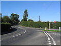
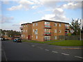
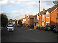
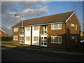
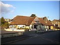
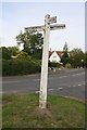
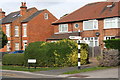
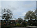
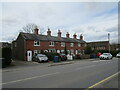
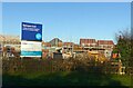
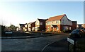
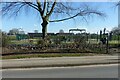
46 photos from this area
Area Information
Key information about the NG12 5HB including its size, population, and administrative classification.
- Area Type
- Postcode
- Area Size
- 1.9 hectares
- Population
- 1739
- Population Density
- 899 people/km²
House Prices in NG12 5HB
29
Properties
£290,300
Average Sold Price
£119,950
Lowest Price
£470,000
Highest Price
Showing 29 properties
| Address | Type | Beds | Baths | Last Sale Price | Last Sale Date | |
|---|---|---|---|---|---|---|
| 5 Normanton Lane, Keyworth, NG12 5HB | Detached | 3 | 1 | £427,000 | Dec 2023 | |
| 23 Normanton Lane, Keyworth, NG12 5HB | Detached | 3 | 2 | £320,000 | Oct 2023 | |
| Fairfields, 3 Normanton Lane, Keyworth, NG12 5HB | Detached | 3 | 1 | £355,555 | Dec 2021 | |
| 11 Normanton Lane, Keyworth, NG12 5HB | Detached | 4 | 2 | £305,000 | May 2019 | |
| 33 Normanton Lane, Keyworth, NG12 5HB | Semi-detached | 4 | 2 | £340,000 | Jul 2018 | |
| 35 Normanton Lane, Keyworth, NG12 5HB | Semi-detached | 3 | 1 | £290,000 | May 2018 | |
| 27 Normanton Lane, Keyworth, NG12 5HB | Detached | 3 | 1 | £281,500 | Aug 2017 | |
| 39 Normanton Lane, Keyworth, NG12 5HB | Detached | 6 | 2 | £470,000 | Oct 2016 | |
| 25 Normanton Lane, Keyworth, NG12 5HB | Detached | 3 | - | £282,500 | Oct 2015 | |
| Melrose House, 49 Normanton Lane, Keyworth, NG12 5HB | Detached | 4 | - | £377,500 | May 2015 |
Page 1 of 3
Energy Efficiency in NG12 5HB
Amenities
Schools
| Rank | School | Type | Entry gender | Ages |
|---|
Explore more schools in this area
Go to Schools tabDemographics
Household Size
Two person
most common
Accommodation Type
Houses
most common
Tenure
94
majority
Ethnic Group
White
most common
Religion
N/A
most common
Household Composition
N/A
most common
Age
47
median
Elderly (65+ years)
most common
Household Deprivation
N/A
with no deprivation
NS-SEC
52
in Lower managerial occupations
Explore more demographic insights in this area
Go to Demographics tabPlanning
Planning Constraints
- Flood RiskPremium
- Ramsar Wetland SitesPremium
- Area of Outstanding Natural BeautyPremium
- Protected Nature ReservePremium
- Protected WoodlandPremium