Area Overview for NG12 4LP
Photos of NG12 4LP
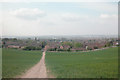
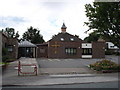
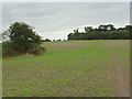
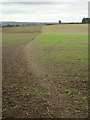
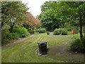
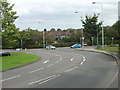
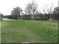
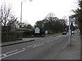
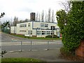
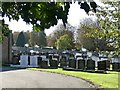
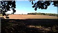
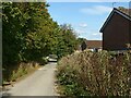
45 photos from this area
Area Information
Key information about the NG12 4LP including its size, population, and administrative classification.
- Area Type
- Postcode
- Area Size
- 3549 m²
- Population
- 1739
- Population Density
- 1112 people/km²
House Prices in NG12 4LP
13
Properties
£258,000
Average Sold Price
£258,000
Lowest Price
£258,000
Highest Price
Showing 13 properties
| Address | Type | Beds | Baths | Last Sale Price | Last Sale Date | |
|---|---|---|---|---|---|---|
| 93 Rose Way, Edwalton, NG12 4LP | house | - | - | £258,000 | Dec 2023 | |
| 95 Rose Way, Edwalton, NG12 4LP | house | - | - | - | - | |
| 103 Rose Way, Edwalton, NG12 4LP | house | - | - | - | - | |
| 97 Rose Way, Edwalton, NG12 4LP | house | - | - | - | - | |
| 87 Rose Way, Edwalton, NG12 4LP | house | - | - | - | - | |
| 81 Rose Way, Edwalton, NG12 4LP | house | - | - | - | - | |
| 83 Rose Way, Edwalton, NG12 4LP | house | - | - | - | - | |
| 101 Rose Way, Edwalton, NG12 4LP | house | - | - | - | - | |
| 77 Rose Way, Edwalton, NG12 4LP | house | - | - | - | - | |
| 99 Rose Way, Edwalton, NG12 4LP | house | - | - | - | - |
Page 1 of 2
Energy Efficiency in NG12 4LP
Amenities
Schools
| Rank | School | Type | Entry gender | Ages |
|---|
Explore more schools in this area
Go to Schools tabDemographics
Household Size
Family (3-5 people)
most common
Accommodation Type
Houses
most common
Tenure
79
majority
Ethnic Group
White
most common
Religion
N/A
most common
Household Composition
N/A
most common
Age
47
median
Adults (30-64 years)
most common
Household Deprivation
N/A
with no deprivation
NS-SEC
63
in Lower managerial occupations
Explore more demographic insights in this area
Go to Demographics tabPlanning
Planning Constraints
- Flood RiskPremium
- Ramsar Wetland SitesPremium
- Area of Outstanding Natural BeautyPremium
- Protected Nature ReservePremium
- Protected WoodlandPremium