Area Overview for NG12 4AU
Photos of NG12 4AU
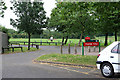
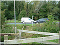
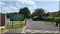
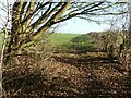
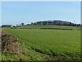
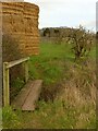
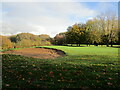
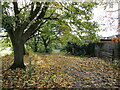
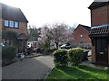
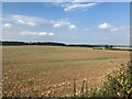
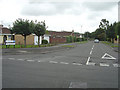
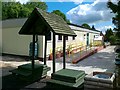
34 photos from this area
Area Information
Key information about the NG12 4AU including its size, population, and administrative classification.
- Area Type
- Postcode
- Area Size
- 1.2 hectares
- Population
- 1303
- Population Density
- 2797 people/km²
House Prices in NG12 4AU
24
Properties
£214,182
Average Sold Price
£68,500
Lowest Price
£333,000
Highest Price
Showing 24 properties
| Address | Type | Beds | Baths | Last Sale Price | Last Sale Date | |
|---|---|---|---|---|---|---|
| 52 Alford Road, Edwalton, NG12 4AU | Semi-detached | 3 | 1 | £330,000 | Feb 2023 | |
| 64 Alford Road, Edwalton, NG12 4AU | Semi-detached | 3 | 2 | £333,000 | Jun 2021 | |
| 88 Alford Road, Edwalton, NG12 4AU | Semi-detached | 3 | 1 | £245,000 | Oct 2020 | |
| 54 Alford Road, Edwalton, NG12 4AU | Semi-detached | 3 | 1 | £218,000 | Oct 2019 | |
| 72 Alford Road, Edwalton, NG12 4AU | Semi-detached | 3 | 1 | £205,000 | Oct 2016 | |
| 60 Alford Road, Edwalton, NG12 4AU | Semi-detached | 3 | 1 | £233,500 | Jul 2016 | |
| 82 Alford Road, Edwalton, NG12 4AU | house | 3 | - | £156,000 | Oct 2014 | |
| 92 Alford Road, Edwalton, NG12 4AU | Semi-detached | 3 | 1 | £162,000 | Aug 2012 | |
| 66 Alford Road, Edwalton, NG12 4AU | house | - | - | £180,000 | May 2011 | |
| 50 Alford Road, Edwalton, NG12 4AU | Semi-detached | 3 | - | £225,000 | Jan 2011 |
Page 1 of 3
Energy Efficiency in NG12 4AU
Amenities
Schools
| Rank | School | Type | Entry gender | Ages |
|---|
Explore more schools in this area
Go to Schools tabDemographics
Household Size
One person
most common
Accommodation Type
Houses
most common
Tenure
56
majority
Ethnic Group
White
most common
Religion
N/A
most common
Household Composition
N/A
most common
Age
47
median
Adults (30-64 years)
most common
Household Deprivation
N/A
with no deprivation
NS-SEC
39
in Lower managerial occupations
Explore more demographic insights in this area
Go to Demographics tabPlanning
Planning Constraints
- Flood RiskPremium
- Ramsar Wetland SitesPremium
- Area of Outstanding Natural BeautyPremium
- Protected Nature ReservePremium
- Protected WoodlandPremium