Area Overview for NG12 3EL
Photos of NG12 3EL
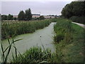
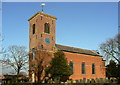
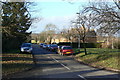
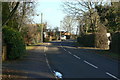
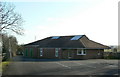
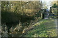
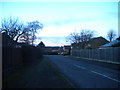
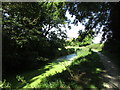
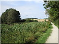
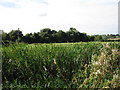
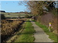
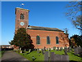
40 photos from this area
Area Information
Key information about the NG12 3EL including its size, population, and administrative classification.
- Area Type
- Postcode
- Area Size
- 23.8 hectares
- Population
- 1943
- Population Density
- 50 people/km²
House Prices in NG12 3EL
43
Properties
£482,225
Average Sold Price
£175,000
Lowest Price
£713,350
Highest Price
Showing 43 properties
| Address | Type | Beds | Baths | Last Sale Price | Last Sale Date | |
|---|---|---|---|---|---|---|
| Church View, 69 Main Street, Kinoulton, NG12 3EL | Semi-detached | 4 | 2 | £400,000 | Dec 2024 | |
| Peets Orchard, 95 Main Street, Kinoulton, NG12 3EL | Retail | 5 | 3 | £685,000 | Aug 2022 | |
| Cranmer Lodge, 87 Main Street, Kinoulton, NG12 3EL | Bungalow | 3 | 1 | £713,350 | Jun 2022 | |
| Needham Hill Farm, 99 Main Street, Kinoulton, NG12 3EL | house | 3 | 1 | £480,000 | Feb 2022 | |
| Church End, 61 Main Street, Kinoulton, NG12 3EL | Detached | 4 | 2 | £440,000 | Mar 2019 | |
| Field House, 97 Main Street, Kinoulton, NG12 3EL | Detached | - | - | £175,000 | Sep 1998 | |
| The Nook, 93 Main Street, Kinoulton, NG12 3EL | Semi-detached | 3 | - | - | - | |
| The Old Bakehouse, 55 Main Street, Kinoulton, NG12 3EL | house | 4 | - | - | - | |
| Ashfield House, 67 Main Street, Kinoulton, NG12 3EL | Terraced | - | - | - | - | |
| Grenene, 109 Main Street, Kinoulton, NG12 3EL | Detached | - | - | - | - |
Page 1 of 5
Energy Efficiency in NG12 3EL
Amenities
Schools
| Rank | School | Type | Entry gender | Ages |
|---|
Explore more schools in this area
Go to Schools tabDemographics
Household Size
Two person
most common
Accommodation Type
Houses
most common
Tenure
88
majority
Ethnic Group
White
most common
Religion
N/A
most common
Household Composition
N/A
most common
Age
47
median
Adults (30-64 years)
most common
Household Deprivation
N/A
with no deprivation
NS-SEC
50
in Lower managerial occupations
Explore more demographic insights in this area
Go to Demographics tabPlanning
Planning Constraints
- Flood RiskPremium
- Ramsar Wetland SitesPremium
- Area of Outstanding Natural BeautyPremium
- Protected Nature ReservePremium
- Protected WoodlandPremium