Area Overview for NG12 2NW
Photos of NG12 2NW
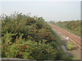
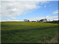
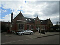
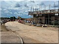
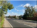
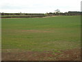
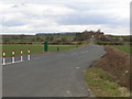

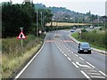

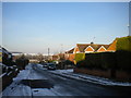

18 photos from this area
Area Information
Key information about the NG12 2NW including its size, population, and administrative classification.
- Area Type
- Postcode
- Area Size
- 7.2 hectares
- Population
- 1321
- Population Density
- 680 people/km²
House Prices in NG12 2NW
22
Properties
£469,122
Average Sold Price
£188,045
Lowest Price
£960,000
Highest Price
Showing 22 properties
| Address | Type | Beds | Baths | Last Sale Price | Last Sale Date | |
|---|---|---|---|---|---|---|
| Professors House, 15 Berkeley Crescent, Upper Saxondale, NG12 2NW | Detached | 6 | 4 | £960,000 | Feb 2022 | |
| 24 Berkeley Crescent, Upper Saxondale, NG12 2NW | house | - | - | £625,000 | Jun 2021 | |
| 2 Berkeley Crescent, Upper Saxondale, NG12 2NW | Detached | 5 | 3 | £662,000 | Dec 2020 | |
| 3 Berkeley Crescent, Upper Saxondale, NG12 2NW | Detached | 6 | 4 | £540,000 | May 2019 | |
| 7 Berkeley Crescent, Upper Saxondale, NG12 2NW | Detached | 5 | 3 | £838,000 | Mar 2019 | |
| 16 Berkeley Crescent, Upper Saxondale, NG12 2NW | Detached | 5 | - | £615,000 | Jul 2016 | |
| 8 Berkeley Crescent, Upper Saxondale, NG12 2NW | Detached | 5 | 4 | £499,000 | Mar 2015 | |
| 10 Berkeley Crescent, Upper Saxondale, NG12 2NW | house | 5 | - | £380,000 | Jul 2011 | |
| 18 Berkeley Crescent, Upper Saxondale, NG12 2NW | Detached | - | - | £432,500 | Jul 2007 | |
| 4 Berkeley Crescent, Upper Saxondale, NG12 2NW | Detached | - | - | £429,000 | Feb 2007 |
Page 1 of 3
Energy Efficiency in NG12 2NW
Amenities
Schools
| Rank | School | Type | Entry gender | Ages |
|---|
Explore more schools in this area
Go to Schools tabDemographics
Household Size
Two person
most common
Accommodation Type
Houses
most common
Tenure
88
majority
Ethnic Group
White
most common
Religion
N/A
most common
Household Composition
N/A
most common
Age
47
median
Adults (30-64 years)
most common
Household Deprivation
N/A
with no deprivation
NS-SEC
52
in Lower managerial occupations
Explore more demographic insights in this area
Go to Demographics tabPlanning
Planning Constraints
- Flood RiskPremium
- Ramsar Wetland SitesPremium
- Area of Outstanding Natural BeautyPremium
- Protected Nature ReservePremium
- Protected WoodlandPremium