Area Overview for NG12 2BQ
Photos of NG12 2BQ
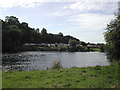
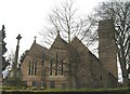
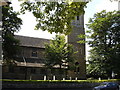
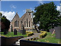
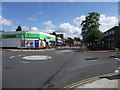
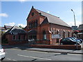
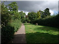
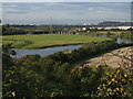
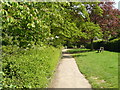
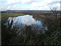
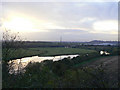
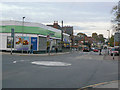
86 photos from this area
Area Information
Key information about the NG12 2BQ including its size, population, and administrative classification.
- Area Type
- Postcode
- Area Size
- 7488 m²
- Population
- 1486
- Population Density
- 519 people/km²
House Prices in NG12 2BQ
33
Properties
£196,163
Average Sold Price
£38,500
Lowest Price
£460,000
Highest Price
Showing 33 properties
| Address | Type | Beds | Baths | Last Sale Price | Last Sale Date | |
|---|---|---|---|---|---|---|
| 86 Main Road, Radcliffe On Trent, NG12 2BQ | Semi-detached | 3 | 1 | £165,000 | Mar 2025 | |
| 84 Main Road, Radcliffe On Trent, NG12 2BQ | Detached | 3 | 2 | £460,000 | Apr 2024 | |
| 94 Main Road, Radcliffe On Trent, NG12 2BQ | house | - | - | £360,000 | Mar 2024 | |
| 82 Main Road, Radcliffe On Trent, NG12 2BQ | Bungalow | 2 | - | £250,000 | Sep 2021 | |
| 92 Main Road, Radcliffe On Trent, NG12 2BQ | house | 2 | - | £310,000 | Nov 2020 | |
| 80 Main Road, Radcliffe On Trent, NG12 2BQ | Bungalow | - | - | £160,000 | May 2017 | |
| 88 Main Road, Radcliffe On Trent, NG12 2BQ | Bungalow | - | - | £175,000 | Mar 2011 | |
| 74 Main Road, Radcliffe On Trent, NG12 2BQ | Flat | 2 | 1 | £104,000 | Feb 2001 | |
| 78 Main Road, Radcliffe On Trent, NG12 2BQ | Terraced | - | - | £88,950 | Sep 2000 | |
| 86A Main Road, Radcliffe On Trent, NG12 2BQ | Semi-detached | - | - | £50,000 | Nov 1997 |
Page 1 of 4
Energy Efficiency in NG12 2BQ
Amenities
Schools
| Rank | School | Type | Entry gender | Ages |
|---|
Explore more schools in this area
Go to Schools tabDemographics
Household Size
One person
most common
Accommodation Type
Houses
most common
Tenure
80
majority
Ethnic Group
White
most common
Religion
N/A
most common
Household Composition
N/A
most common
Age
47
median
Adults (30-64 years)
most common
Household Deprivation
N/A
with no deprivation
NS-SEC
43
in Lower managerial occupations
Explore more demographic insights in this area
Go to Demographics tabPlanning
Planning Constraints
- Flood RiskPremium
- Ramsar Wetland SitesPremium
- Area of Outstanding Natural BeautyPremium
- Protected Nature ReservePremium
- Protected WoodlandPremium