Area Overview for NG12 2AJ
Photos of NG12 2AJ
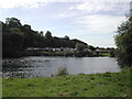
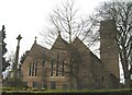
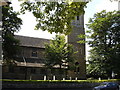
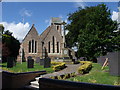
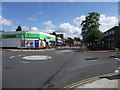
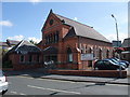
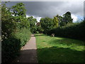
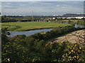
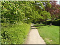
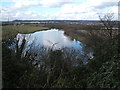
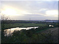
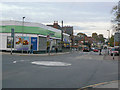
86 photos from this area
Area Information
Key information about the NG12 2AJ including its size, population, and administrative classification.
- Area Type
- Postcode
- Area Size
- 1.1 hectares
- Population
- 1593
- Population Density
- 2118 people/km²
House Prices in NG12 2AJ
22
Properties
£241,458
Average Sold Price
£134,500
Lowest Price
£650,000
Highest Price
Showing 22 properties
| Address | Type | Beds | Baths | Last Sale Price | Last Sale Date | |
|---|---|---|---|---|---|---|
| 11 New Road, Radcliffe On Trent, NG12 2AJ | Detached | 3 | 1 | £425,000 | Aug 2023 | |
| 18 New Road, Radcliffe On Trent, NG12 2AJ | house | - | - | £650,000 | Sep 2022 | |
| 17 New Road, Radcliffe On Trent, NG12 2AJ | Semi-detached | 3 | 1 | £250,000 | Sep 2018 | |
| 19 New Road, Radcliffe On Trent, NG12 2AJ | Bungalow | 2 | 1 | £182,500 | Jan 2013 | |
| 16 New Road, Radcliffe On Trent, NG12 2AJ | Bungalow | - | - | £155,000 | Jul 2009 | |
| 15 New Road, Radcliffe On Trent, NG12 2AJ | house | - | - | £165,000 | Jun 2009 | |
| Holly Hedge, 5A New Road, Radcliffe On Trent, NG12 2AJ | house | - | - | £175,000 | May 2009 | |
| 12 New Road, Radcliffe On Trent, NG12 2AJ | Detached | 4 | 2 | £248,000 | Jun 2007 | |
| 20 New Road, Radcliffe On Trent, NG12 2AJ | Detached | - | - | £142,000 | Jun 2007 | |
| 14 New Road, Radcliffe On Trent, NG12 2AJ | Bungalow | - | - | £197,500 | Jan 2007 |
Page 1 of 3
Energy Efficiency in NG12 2AJ
Amenities
Schools
| Rank | School | Type | Entry gender | Ages |
|---|
Explore more schools in this area
Go to Schools tabDemographics
Household Size
Two person
most common
Accommodation Type
Houses
most common
Tenure
85
majority
Ethnic Group
White
most common
Religion
N/A
most common
Household Composition
N/A
most common
Age
47
median
Elderly (65+ years)
most common
Household Deprivation
N/A
with no deprivation
NS-SEC
48
in Lower managerial occupations
Explore more demographic insights in this area
Go to Demographics tabPlanning
Planning Constraints
- Flood RiskPremium
- Ramsar Wetland SitesPremium
- Area of Outstanding Natural BeautyPremium
- Protected Nature ReservePremium
- Protected WoodlandPremium