Area Overview for NG11 6BN
Photos of NG11 6BN
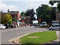
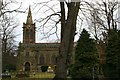
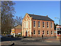
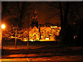
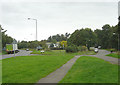
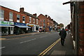
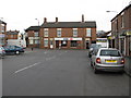
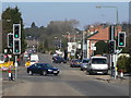
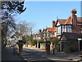
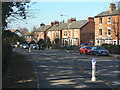
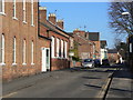
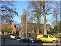
96 photos from this area
Area Information
Key information about the NG11 6BN including its size, population, and administrative classification.
- Area Type
- Postcode
- Area Size
- 1.7 hectares
- Population
- 2178
- Population Density
- 1304 people/km²
House Prices in NG11 6BN
39
Properties
£179,400
Average Sold Price
£41,500
Lowest Price
£282,000
Highest Price
Showing 39 properties
| Address | Type | Beds | Baths | Last Sale Price | Last Sale Date | |
|---|---|---|---|---|---|---|
| 77 Wilford Road, Ruddington, NG11 6BN | Terraced | 2 | 1 | £164,000 | Aug 2024 | |
| 85 Wilford Road, Ruddington, NG11 6BN | house | 2 | 1 | £282,000 | Oct 2022 | |
| 67 Wilford Road, Ruddington, NG11 6BN | Retail | 3 | 1 | £211,200 | Mar 2022 | |
| 83 Wilford Road, Ruddington, NG11 6BN | Terraced | 2 | - | £258,500 | Dec 2021 | |
| 55 Wilford Road, Ruddington, NG11 6BN | house | - | - | £255,000 | Sep 2021 | |
| 81 Wilford Road, Ruddington, NG11 6BN | house | - | - | £195,000 | Mar 2021 | |
| 57 Wilford Road, Ruddington, NG11 6BN | house | - | - | £204,000 | Nov 2020 | |
| 37 Wilford Road, Ruddington, NG11 6BN | house | - | - | £250,000 | Aug 2020 | |
| 79 Wilford Road, Ruddington, NG11 6BN | Terraced | 3 | 1 | £218,000 | Nov 2019 | |
| 73 Wilford Road, Ruddington, NG11 6BN | house | 3 | - | £237,000 | May 2018 |
Page 1 of 4
Energy Efficiency in NG11 6BN
Amenities
Schools
| Rank | School | Type | Entry gender | Ages |
|---|
Explore more schools in this area
Go to Schools tabDemographics
Household Size
Family (3-5 people)
most common
Accommodation Type
Houses
most common
Tenure
82
majority
Ethnic Group
White
most common
Religion
N/A
most common
Household Composition
N/A
most common
Age
47
median
Adults (30-64 years)
most common
Household Deprivation
N/A
with no deprivation
NS-SEC
48
in Lower managerial occupations
Explore more demographic insights in this area
Go to Demographics tabPlanning
Planning Constraints
- Flood RiskPremium
- Ramsar Wetland SitesPremium
- Area of Outstanding Natural BeautyPremium
- Protected Nature ReservePremium
- Protected WoodlandPremium