Area Overview for NG10 5QD
Photos of NG10 5QD
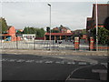
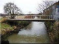
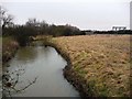
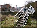
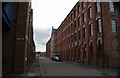

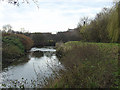
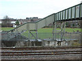
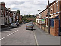
100 photos from this area
Area Information
Key information about the NG10 5QD including its size, population, and administrative classification.
- Area Type
- Postcode
- Area Size
- 2365 m²
- Population
- 1911
- Population Density
- 5996 people/km²
House Prices in NG10 5QD
55
Properties
£103,128
Average Sold Price
£53,000
Lowest Price
£150,000
Highest Price
Showing 55 properties
| Address | Type | Beds | Baths | Last Sale Price | Last Sale Date | |
|---|---|---|---|---|---|---|
| 16, Springfield Mill, Bridge Street, Sandiacre, NG10 5QD | Flat | - | - | £110,000 | Jul 2024 | |
| 10, Springfield Mill, Bridge Street, Sandiacre, NG10 5QD | Flat | - | - | £105,000 | May 2024 | |
| 48, Springfield Mill, Bridge Street, Sandiacre, NG10 5QD | Flat | - | - | £150,000 | Mar 2024 | |
| 41, Springfield Mill, Bridge Street, Sandiacre, NG10 5QD | Flat | - | - | £110,000 | Mar 2024 | |
| 17, Springfield Mill, Bridge Street, Sandiacre, NG10 5QD | Flat | 1 | 1 | £115,000 | Jan 2024 | |
| 21, Springfield Mill, Bridge Street, Sandiacre, NG10 5QD | Flat | - | - | £142,000 | Dec 2023 | |
| 49, Springfield Mill, Bridge Street, Sandiacre, NG10 5QD | Flat | - | - | £140,000 | Nov 2023 | |
| 25, Springfield Mill, Bridge Street, Sandiacre, NG10 5QD | Flat | - | - | £136,000 | Oct 2023 | |
| 53, Springfield Mill, Bridge Street, Sandiacre, NG10 5QD | Flat | - | - | £120,000 | Jul 2023 | |
| 28, Springfield Mill, Bridge Street, Sandiacre, NG10 5QD | Flat | - | - | £109,950 | Nov 2019 |
Page 1 of 6
Energy Efficiency in NG10 5QD
Amenities
Schools
| Rank | School | Type | Entry gender | Ages |
|---|
Explore more schools in this area
Go to Schools tabDemographics
Household Size
One person
most common
Accommodation Type
Houses
most common
Tenure
57
majority
Ethnic Group
White
most common
Religion
N/A
most common
Household Composition
N/A
most common
Age
47
median
Adults (30-64 years)
most common
Household Deprivation
N/A
with no deprivation
NS-SEC
29
in Lower managerial occupations
Explore more demographic insights in this area
Go to Demographics tabPlanning
Planning Constraints
- Flood RiskPremium
- Ramsar Wetland SitesPremium
- Area of Outstanding Natural BeautyPremium
- Protected Nature ReservePremium
- Protected WoodlandPremium