Area Overview for NG10 5JE
Photos of NG10 5JE
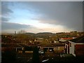
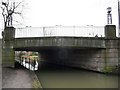
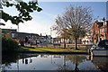
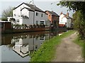
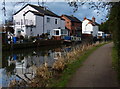
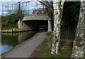
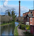
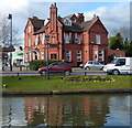
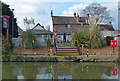
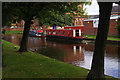
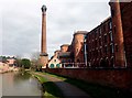
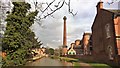
61 photos from this area
Area Information
Key information about the NG10 5JE including its size, population, and administrative classification.
- Area Type
- Postcode
- Area Size
- 8020 m²
- Population
- 1911
- Population Density
- 5996 people/km²
House Prices in NG10 5JE
34
Properties
£134,093
Average Sold Price
£34,000
Lowest Price
£223,000
Highest Price
Showing 34 properties
| Address | Type | Beds | Baths | Last Sale Price | Last Sale Date | |
|---|---|---|---|---|---|---|
| 18 Victoria Road, Sandiacre, NG10 5JE | Detached | 3 | 1 | £175,000 | Sep 2025 | |
| 32 Victoria Road, Sandiacre, NG10 5JE | house | - | - | £150,000 | Mar 2025 | |
| 54 Victoria Road, Sandiacre, NG10 5JE | Semi-detached | 2 | 1 | £186,000 | Jan 2023 | |
| 10 Victoria Road, Sandiacre, NG10 5JE | Terraced | 3 | 1 | £200,000 | Jul 2022 | |
| 28 Victoria Road, Sandiacre, NG10 5JE | Retail | 3 | 2 | £215,000 | Apr 2022 | |
| 20 Victoria Road, Sandiacre, NG10 5JE | Detached | 3 | 1 | £223,000 | Mar 2021 | |
| 42 Victoria Road, Sandiacre, NG10 5JE | Terraced | 3 | 1 | £98,000 | Sep 2016 | |
| 8 Victoria Road, Sandiacre, NG10 5JE | Terraced | 2 | 1 | £122,500 | May 2016 | |
| 12 Victoria Road, Sandiacre, NG10 5JE | Terraced | 3 | - | £125,000 | May 2015 | |
| 14 Victoria Road, Sandiacre, NG10 5JE | Terraced | 2 | 1 | £86,000 | Apr 2015 |
Page 1 of 4
Energy Efficiency in NG10 5JE
Amenities
Schools
| Rank | School | Type | Entry gender | Ages |
|---|
Explore more schools in this area
Go to Schools tabDemographics
Household Size
One person
most common
Accommodation Type
Houses
most common
Tenure
57
majority
Ethnic Group
White
most common
Religion
N/A
most common
Household Composition
N/A
most common
Age
47
median
Adults (30-64 years)
most common
Household Deprivation
N/A
with no deprivation
NS-SEC
29
in Lower managerial occupations
Explore more demographic insights in this area
Go to Demographics tabPlanning
Planning Constraints
- Flood RiskPremium
- Ramsar Wetland SitesPremium
- Area of Outstanding Natural BeautyPremium
- Protected Nature ReservePremium
- Protected WoodlandPremium