Area Overview for NG10 5HS
Photos of NG10 5HS
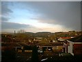
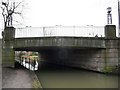
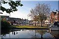
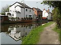
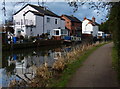
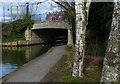
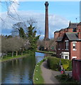
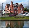
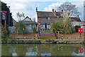
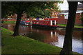


61 photos from this area
Area Information
Key information about the NG10 5HS including its size, population, and administrative classification.
- Area Type
- Postcode
- Area Size
- 4343 m²
- Population
- 1428
- Population Density
- 2861 people/km²
House Prices in NG10 5HS
31
Properties
£84,721
Average Sold Price
£18,000
Lowest Price
£149,995
Highest Price
Showing 31 properties
| Address | Type | Beds | Baths | Last Sale Price | Last Sale Date | |
|---|---|---|---|---|---|---|
| 30 Derby Road, Sandiacre, NG10 5HS | Flat | - | - | £121,000 | Aug 2023 | |
| 26 Derby Road, Sandiacre, NG10 5HS | Maisonette | 2 | 1 | £110,000 | Jan 2022 | |
| 2C Derby Road, Sandiacre, NG10 5HS | Flat | - | - | £75,000 | Nov 2021 | |
| 2D Derby Road, Sandiacre, NG10 5HS | Flat | 1 | 1 | £52,000 | Aug 2021 | |
| 2A Derby Road, Sandiacre, NG10 5HS | Flat | 1 | 1 | £56,500 | Jul 2020 | |
| 24 Derby Road, Sandiacre, NG10 5HS | Flat | - | - | £99,995 | Jun 2018 | |
| 16 Derby Road, Sandiacre, NG10 5HS | Terraced | 2 | 1 | £80,000 | Jun 2015 | |
| 38A Derby Road, Sandiacre, NG10 5HS | Flat | 1 | 1 | £149,995 | Feb 2008 | |
| 14 Derby Road, Sandiacre, NG10 5HS | Terraced | - | - | £18,000 | Nov 1999 | |
| 2B Derby Road, Sandiacre, NG10 5HS | Flat | 1 | 1 | - | - |
Page 1 of 4
Energy Efficiency in NG10 5HS
Amenities
Schools
| Rank | School | Type | Entry gender | Ages |
|---|
Explore more schools in this area
Go to Schools tabDemographics
Household Size
Two person
most common
Accommodation Type
Houses
most common
Tenure
86
majority
Ethnic Group
White
most common
Religion
N/A
most common
Household Composition
N/A
most common
Age
47
median
Adults (30-64 years)
most common
Household Deprivation
N/A
with no deprivation
NS-SEC
32
in Lower managerial occupations
Explore more demographic insights in this area
Go to Demographics tabPlanning
Planning Constraints
- Flood RiskPremium
- Ramsar Wetland SitesPremium
- Area of Outstanding Natural BeautyPremium
- Protected Nature ReservePremium
- Protected WoodlandPremium