Area Overview for NG10 5FY
Photos of NG10 5FY
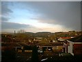
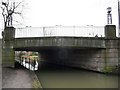
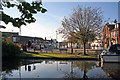
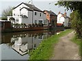
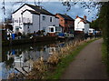
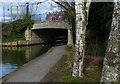
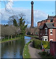
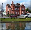

61 photos from this area
Area Information
Key information about the NG10 5FY including its size, population, and administrative classification.
- Area Type
- Postcode
- Area Size
- 5.2 hectares
- Population
- 1911
- Population Density
- 5996 people/km²
House Prices in NG10 5FY
73
Properties
£157,839
Average Sold Price
£66,000
Lowest Price
£230,000
Highest Price
Showing 73 properties
| Address | Type | Beds | Baths | Last Sale Price | Last Sale Date | |
|---|---|---|---|---|---|---|
| 41 Hart Avenue, Sandiacre, NG10 5FY | Semi-detached | 3 | 1 | £229,525 | Mar 2025 | |
| 38 Hart Avenue, Sandiacre, NG10 5FY | Semi-detached | 3 | 1 | £216,000 | Oct 2024 | |
| 15 Hart Avenue, Sandiacre, NG10 5FY | Semi-detached | 3 | 1 | £230,000 | Jul 2024 | |
| 5 Hart Avenue, Sandiacre, NG10 5FY | Semi-detached | 3 | 1 | £220,000 | Jan 2024 | |
| 25 Hart Avenue, Sandiacre, NG10 5FY | Semi-detached | 3 | 1 | £185,000 | Jul 2023 | |
| 20 Hart Avenue, Sandiacre, NG10 5FY | Semi-detached | 3 | - | £150,000 | Oct 2022 | |
| 19 Hart Avenue, Sandiacre, NG10 5FY | Retail | 3 | 1 | £188,000 | Jul 2022 | |
| 18 Hart Avenue, Sandiacre, NG10 5FY | Semi-detached | 3 | 1 | £210,000 | May 2022 | |
| 7 Hart Avenue, Sandiacre, NG10 5FY | Semi-detached | 3 | 1 | £225,000 | Sep 2021 | |
| 21 Hart Avenue, Sandiacre, NG10 5FY | house | - | - | £150,000 | Jul 2021 |
Page 1 of 8
Energy Efficiency in NG10 5FY
Amenities
Schools
| Rank | School | Type | Entry gender | Ages |
|---|
Explore more schools in this area
Go to Schools tabDemographics
Household Size
One person
most common
Accommodation Type
Houses
most common
Tenure
57
majority
Ethnic Group
White
most common
Religion
N/A
most common
Household Composition
N/A
most common
Age
47
median
Adults (30-64 years)
most common
Household Deprivation
N/A
with no deprivation
NS-SEC
29
in Lower managerial occupations
Explore more demographic insights in this area
Go to Demographics tabPlanning
Planning Constraints
- Flood RiskPremium
- Ramsar Wetland SitesPremium
- Area of Outstanding Natural BeautyPremium
- Protected Nature ReservePremium
- Protected WoodlandPremium