Area Overview for NG10 5DN
Photos of NG10 5DN
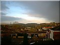
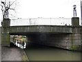
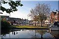
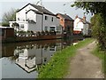
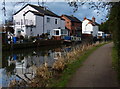
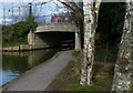
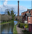
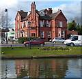
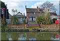
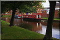
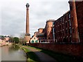
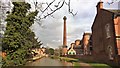
61 photos from this area
Area Information
Key information about the NG10 5DN including its size, population, and administrative classification.
- Area Type
- Postcode
- Area Size
- 5663 m²
- Population
- 1588
- Population Density
- 2154 people/km²
House Prices in NG10 5DN
27
Properties
£121,500
Average Sold Price
£78,000
Lowest Price
£180,000
Highest Price
Showing 27 properties
| Address | Type | Beds | Baths | Last Sale Price | Last Sale Date | |
|---|---|---|---|---|---|---|
| 142 Town Street, Sandiacre, NG10 5DN | house | - | - | £140,000 | Mar 2025 | |
| 126 Town Street, Sandiacre, NG10 5DN | Terraced | 3 | 1 | £180,000 | Jun 2024 | |
| 152 Town Street, Sandiacre, NG10 5DN | Terraced | 2 | 1 | £153,000 | Mar 2023 | |
| 146 Town Street, Sandiacre, NG10 5DN | Terraced | 2 | 1 | £104,500 | Feb 2018 | |
| 144 Town Street, Sandiacre, NG10 5DN | house | 2 | 1 | £115,000 | Jul 2017 | |
| 148 Town Street, Sandiacre, NG10 5DN | Terraced | 2 | 1 | £80,000 | Nov 2009 | |
| 124 Town Street, Sandiacre, NG10 5DN | Terraced | 3 | 1 | £78,000 | Nov 2006 | |
| 120 Town Street, Sandiacre, NG10 5DN | warehouse | - | - | - | - | |
| 106 Town Street, Sandiacre, NG10 5DN | undefined | - | - | - | - | |
| 114 Town Street, Sandiacre, NG10 5DN | undefined | - | - | - | - |
Page 1 of 3
Energy Efficiency in NG10 5DN
Amenities
Schools
| Rank | School | Type | Entry gender | Ages |
|---|
Explore more schools in this area
Go to Schools tabDemographics
Household Size
Two person
most common
Accommodation Type
Houses
most common
Tenure
53
majority
Ethnic Group
White
most common
Religion
N/A
most common
Household Composition
N/A
most common
Age
47
median
Adults (30-64 years)
most common
Household Deprivation
N/A
with no deprivation
NS-SEC
23
in Lower managerial occupations
Explore more demographic insights in this area
Go to Demographics tabPlanning
Planning Constraints
- Flood RiskPremium
- Ramsar Wetland SitesPremium
- Area of Outstanding Natural BeautyPremium
- Protected Nature ReservePremium
- Protected WoodlandPremium