Area Overview for NG10 4RA
Photos of NG10 4RA
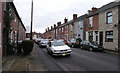
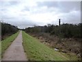
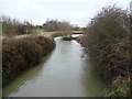
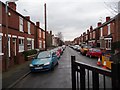
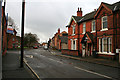

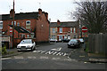
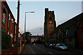
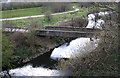
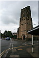

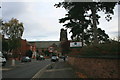
100 photos from this area
Area Information
Key information about the NG10 4RA including its size, population, and administrative classification.
- Area Type
- Postcode
- Area Size
- 5941 m²
- Population
- Not available
- Population Density
- Not available
House Prices in NG10 4RA
44
Properties
£108,876
Average Sold Price
£29,000
Lowest Price
£186,000
Highest Price
Showing 44 properties
| Address | Type | Beds | Baths | Last Sale Price | Last Sale Date | |
|---|---|---|---|---|---|---|
| 16 Bennett Street, Long Eaton, NG10 4RA | Terraced | 3 | 1 | £100,000 | Sep 2025 | |
| 24 Bennett Street, Long Eaton, NG10 4RA | Semi-detached | 2 | 1 | £159,000 | Sep 2025 | |
| 56 Bennett Street, Long Eaton, NG10 4RA | Semi-detached | 2 | 1 | £168,000 | Aug 2025 | |
| 88 Bennett Street, Long Eaton, NG10 4RA | Detached | 1 | 1 | £173,000 | Jul 2025 | |
| 64 Bennett Street, Long Eaton, NG10 4RA | Semi-detached | 2 | 1 | £180,000 | Apr 2025 | |
| 70 Bennett Street, Long Eaton, NG10 4RA | Detached | 2 | 1 | £165,000 | Mar 2025 | |
| 46 Bennett Street, Long Eaton, NG10 4RA | Semi-detached | 1 | 1 | £165,000 | Dec 2024 | |
| 42 Bennett Street, Long Eaton, NG10 4RA | Semi-detached | 3 | 1 | £186,000 | Oct 2022 | |
| 14 Bennett Street, Long Eaton, NG10 4RA | Retail | 2 | - | £140,000 | Apr 2022 | |
| 74 Bennett Street, Long Eaton, NG10 4RA | Detached | 3 | 1 | £145,000 | Jan 2022 |
Page 1 of 5
Energy Efficiency in NG10 4RA
Amenities
Schools
| Rank | School | Type | Entry gender | Ages |
|---|
Explore more schools in this area
Go to Schools tabDemographics
Household Size
One person
most common
Accommodation Type
Houses
most common
Tenure
45
majority
Ethnic Group
White
most common
Religion
N/A
most common
Household Composition
N/A
most common
Age
47
median
Adults (30-64 years)
most common
Household Deprivation
N/A
with no deprivation
NS-SEC
25
in Lower managerial occupations
Explore more demographic insights in this area
Go to Demographics tabPlanning
Planning Constraints
- Flood RiskPremium
- Ramsar Wetland SitesPremium
- Area of Outstanding Natural BeautyPremium
- Protected Nature ReservePremium
- Protected WoodlandPremium