Area Overview for NG10 4NA
Photos of NG10 4NA
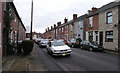
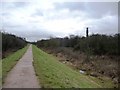
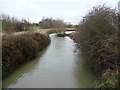
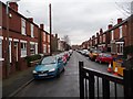
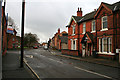

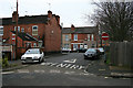
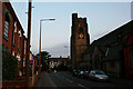
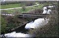
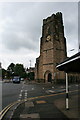

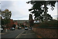
100 photos from this area
Area Information
Key information about the NG10 4NA including its size, population, and administrative classification.
- Area Type
- Postcode
- Area Size
- 5093 m²
- Population
- Not available
- Population Density
- Not available
House Prices in NG10 4NA
28
Properties
£163,344
Average Sold Price
£88,500
Lowest Price
£262,500
Highest Price
Showing 28 properties
| Address | Type | Beds | Baths | Last Sale Price | Last Sale Date | |
|---|---|---|---|---|---|---|
| 10 Park Street, Long Eaton, NG10 4NA | Semi-detached | 2 | 1 | £180,000 | Apr 2024 | |
| 18 Park Street, Long Eaton, NG10 4NA | Retail | 3 | 1 | £185,000 | Feb 2023 | |
| 16 Park Street, Long Eaton, NG10 4NA | house | 2 | 1 | £185,000 | Apr 2022 | |
| 3 Park Street, Long Eaton, NG10 4NA | Semi-detached | 3 | 1 | £165,000 | Sep 2021 | |
| 11 Park Street, Long Eaton, NG10 4NA | house | 4 | - | £205,000 | Sep 2021 | |
| 20 Park Street, Long Eaton, NG10 4NA | Detached | 3 | 2 | £262,500 | Jun 2021 | |
| 17 Park Street, Long Eaton, NG10 4NA | Terraced | 2 | 1 | £150,000 | Sep 2020 | |
| 1 Park Street, Long Eaton, NG10 4NA | Semi-detached | 4 | 1 | £238,000 | Oct 2019 | |
| 5 Park Street, Long Eaton, NG10 4NA | Terraced | 4 | 1 | £179,950 | Sep 2018 | |
| 12 Park Street, Long Eaton, NG10 4NA | Retail | 2 | 1 | £132,750 | Nov 2017 |
Page 1 of 3
Energy Efficiency in NG10 4NA
Amenities
Schools
| Rank | School | Type | Entry gender | Ages |
|---|
Explore more schools in this area
Go to Schools tabDemographics
Household Size
One person
most common
Accommodation Type
Houses
most common
Tenure
45
majority
Ethnic Group
White
most common
Religion
N/A
most common
Household Composition
N/A
most common
Age
47
median
Adults (30-64 years)
most common
Household Deprivation
N/A
with no deprivation
NS-SEC
25
in Lower managerial occupations
Explore more demographic insights in this area
Go to Demographics tabPlanning
Planning Constraints
- Flood RiskPremium
- Ramsar Wetland SitesPremium
- Area of Outstanding Natural BeautyPremium
- Protected Nature ReservePremium
- Protected WoodlandPremium