Area Overview for NG10 4BE
Photos of NG10 4BE
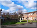
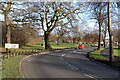
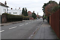
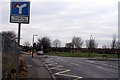
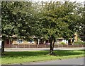

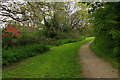
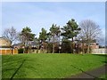


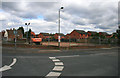
37 photos from this area
Area Information
Key information about the NG10 4BE including its size, population, and administrative classification.
- Area Type
- Postcode
- Area Size
- 1.8 hectares
- Population
- 1439
- Population Density
- 5550 people/km²
House Prices in NG10 4BE
39
Properties
£162,881
Average Sold Price
£42,000
Lowest Price
£287,450
Highest Price
Showing 39 properties
| Address | Type | Beds | Baths | Last Sale Price | Last Sale Date | |
|---|---|---|---|---|---|---|
| 89 Douglas Road, Long Eaton, NG10 4BE | Semi-detached | 3 | 2 | £230,000 | Jan 2024 | |
| 83 Douglas Road, Long Eaton, NG10 4BE | house | 3 | - | £135,000 | Oct 2022 | |
| 107 Douglas Road, Long Eaton, NG10 4BE | house | 3 | 1 | £287,450 | Feb 2022 | |
| 139 Douglas Road, Long Eaton, NG10 4BE | house | - | - | £240,500 | Jan 2022 | |
| 141 Douglas Road, Long Eaton, NG10 4BE | Bungalow | 3 | 1 | £192,500 | Jan 2020 | |
| 77 Douglas Road, Long Eaton, NG10 4BE | Detached | 4 | 2 | £246,000 | Oct 2017 | |
| 129 Douglas Road, Long Eaton, NG10 4BE | Bungalow | 2 | 1 | £205,000 | Jun 2017 | |
| 75 Douglas Road, Long Eaton, NG10 4BE | Detached | 3 | 1 | £230,000 | Mar 2017 | |
| 131 Douglas Road, Long Eaton, NG10 4BE | Bungalow | 3 | 2 | £195,000 | Jun 2016 | |
| 119 Douglas Road, Long Eaton, NG10 4BE | Bungalow | 3 | 1 | £165,000 | Jan 2016 |
Page 1 of 4
Energy Efficiency in NG10 4BE
Amenities
Schools
| Rank | School | Type | Entry gender | Ages |
|---|
Explore more schools in this area
Go to Schools tabDemographics
Household Size
Two person
most common
Accommodation Type
Houses
most common
Tenure
80
majority
Ethnic Group
White
most common
Religion
N/A
most common
Household Composition
N/A
most common
Age
47
median
Adults (30-64 years)
most common
Household Deprivation
N/A
with no deprivation
NS-SEC
37
in Lower managerial occupations
Explore more demographic insights in this area
Go to Demographics tabPlanning
Planning Constraints
- Flood RiskPremium
- Ramsar Wetland SitesPremium
- Area of Outstanding Natural BeautyPremium
- Protected Nature ReservePremium
- Protected WoodlandPremium