Area Overview for Mill Lane Ward
Photos of Mill Lane Ward
Area Information
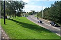
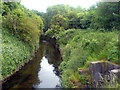
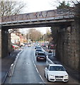
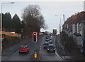
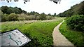
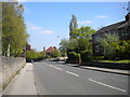
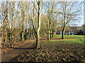
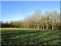
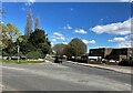
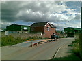
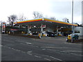
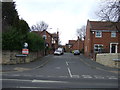
Mill Lane Ward is a compact district covering just one square kilometre within the borough. You will find it is a tightly knit neighbourhood defined by its specific boundaries and clear local identity. As a unitary ward, it operates with a distinct administrative profile that reflects its small yet significant presence in the broader landscape. Living in Mill Lane Ward means adopting a lifestyle where every corner of the square kilometre is accessible within a short walk or drive. The area functions as a self-contained unit, offering residents immediate access to the amenities located within its limits. You are entering a community where the scale is intimate, and daily life revolves around a centralised location that demands efficient use of space. Prospective buyers looking at homes in Mill Lane Ward should appreciate the density that comes with such a confined geographic area. This concentration ensures that infrastructure and services are close by, reducing the need for long commutes. The ward stands out for its straightforward layout and lack of sprawling suburban extensions. Your focus here will be on the quality of the immediate surroundings rather than distant attractions. This is a place where you know exactly where you are and what surrounds your property.
- Area Type
- District Borough Unitary Ward
- Area Size
- 1.0 km²
- Population
- Not available
- Population Density
- Not available
Demographics
The community in Mill Lane Ward reflects an older demographic profile, with a median age of seventy years. This figure indicates that the population consists largely of established residents rather than young families or transient workers. You are looking at an area where the primary age range encompasses the senior generation. Home ownership plays a major role in the local fabric, with seventy-eight per cent of residents owning their homes outright or with a mortgage. This high ownership rate suggests a stable population with strong ties to the ward. You will encounter a community where long-term residents have shaped the local character over many years. The household composition and accommodation totals are documented in the area's records, providing a clear picture of how people live here. Since the data does not specify distinct ethnic groups, religion percentages, or detailed breakdowns for specific demographics, the visible community is dominated by the age and ownership factors provided. This concentration of older homeowners creates a quiet, settled atmosphere. You can expect your neighbours to value stability and a traditional approach to housing. The lack of younger demographic data highlights a territory where new growth is not the driving force. Instead, the area remains defined by its current residents who have stayed put. Life here moves at a pace suited to those who have called this ward home for decades.
Household Size
Accommodation Type
Tenure
Ethnic Group
Religion
Household Composition
Age
Household Deprivation
NS-SEC
Explore more demographic insights in this area
Go to Demographics tabPlanning
Planning Constraints
- Flood RiskPremium
- Ramsar Wetland SitesPremium
- Area of Outstanding Natural BeautyPremium
- Protected Nature ReservePremium
- Protected WoodlandPremium
- Crime RiskPremium