Area Overview for Mawsley Village
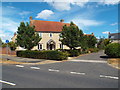
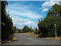
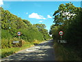
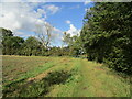
Photos of Mawsley Village
Area Information
Living in Mawsley Village offers a stable residential experience within a built-up area of 49 hectares in Northamptonshire. This locality functions as a distinct community while remaining accessible to wider regional centres such as Kettering. The area combines the convenience of town living with a density that supports essential services without overwhelming noise levels. You will find yourself part of an established neighbourhood where daily routines blend seamlessly with proximity to popular retail outlets like Asda Rothwell and Co-op Broughton. The settlement size suggests a quiet but functional environment, suitable for those seeking a settled pace of life rather than the fast move of a major city centre. Mawsley Village represents a practical choice for families or individuals who prioritise consistent amenities and low crime rates. You can access daily necessities within practical reach, including a bus interchange and railway station connections, ensuring you do not rely solely on your car for all journeys. Homes in Mawsley Village sit within a context where high broadband speeds are the norm, supporting modern work and leisure habits. The area's character is defined by its suburban scale and its successful integration of transport links and local shopping options.
- Area Type
- Built Up Area 250
- Area Size
- 49.0 hectares
- Population
- Not available
- Population Density
- Not available
Amenities
Schools
| Rank | School | Type | Entry gender | Ages |
|---|
Explore more schools in this area
Go to Schools tabDemographics
Household Size
Accommodation Type
Tenure
Ethnic Group
Religion
Household Composition
Age
Household Deprivation
NS-SEC
Explore more demographic insights in this area
Go to Demographics tabPlanning
Planning Constraints
- Crime RiskPremium