Area Overview for Markfield, Stanton and Fieldhead Ward
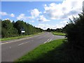
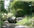
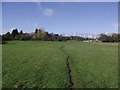
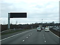
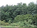
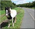
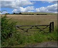
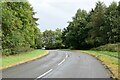
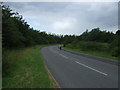
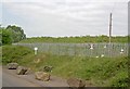
Photos of Markfield, Stanton and Fieldhead Ward
Area Information
Markfield, Stanton and Fieldhead Ward occupies 15.3 km² within the Hinckley and Bosworth Borough Council area in the East Midlands region of England. This electoral ward encompasses the distinct parishes of Markfield, Stanton under Bardon and Field Head, situated at coordinates 52.6883936314411, -1.2996440388306012. Living in Markfield, Stanton and Fieldhead Ward defines a lifestyle rooted in established parishes rather than fast-paced urban development. The community centre of daily life revolves around these three specific locations, which together form a recognisable neighbourhood unit for residents and local authorities. You are entering a district where the physical boundaries are well defined by the Hinckley and Bosworth Borough Council election maps and parish records. This area operates as a cohesive unit within the broader English landscape, offering a specific slice of life that differs from the wider county. The scale of 15.3 km² provides a tangible sense of space without reaching the vastness of a entire town. Your experience here is shaped by the administrative reality of being part of a dedicated ward with clear governance structures. Local services, voting patterns, and community planning all reference this specific grouping, ensuring that residents of Markfield, Stanton and Fieldhead Ward have a defined stake in local decision-making. The setup facilitates direct engagement with those who manage the area.
- Area Type
- District Borough Unitary Ward
- Area Size
- 15.3 km²
- Population
- Not available
- Population Density
- Not available
Demographics
The community profile of Markfield, Stanton and Fieldhead Ward reveals a settled population with a median age of 70 years. This figure indicates that the most common age range is Age: Total, meaning the resident base skews significantly older than the national average. Home ownership stands high at 81%, suggesting that the vast majority of households own their properties outright or with a mortgage rather than renting. You are looking at an area where securing a mortgage or buying a second home carries specific implications given the high proportion of existing owners. The data shows that nearly four out of five residents are homeowners, which often correlates with a slower demographic turnover compared to rental-heavy zones. The household composition data is recorded as total, and the predominant ethnic group and religion categories are likewise listed as total, noting the information available for these specific diversity metrics. For buyers moving to Markfield, Stanton and Fieldhead Ward, the high ownership rate means you are stepping into a stable market where neighbours have often lived in their homes for decades. This stability directly influences the social fabric of the parishes, creating a community bound by long-term residency rather than transient tenancy.
Household Size
Accommodation Type
Tenure
Ethnic Group
Religion
Household Composition
Age
Household Deprivation
NS-SEC
Explore more demographic insights in this area
Go to Demographics tabPlanning
Planning Constraints
- Flood RiskPremium
- Ramsar Wetland SitesPremium
- Area of Outstanding Natural BeautyPremium
- Protected Nature ReservePremium
- Crime RiskPremium