Area Overview for Mapperley
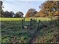
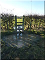
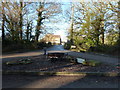
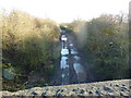
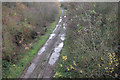
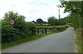
Photos of Mapperley


Area Information
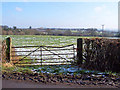
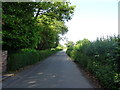
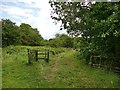
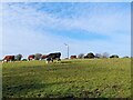
Mapperley is a compact district borough unitary ward in England covering an area of just 4.0 km². This relatively small footprint contributes to a defined sense of locality where daily routes are often short and familiar. The community has established itself as a significant settlement with a distinct character, drawing residents who value a specific, manageable environment over sprawling suburbs. Living in Mapperley involves navigating a landscape where infrastructure meets a stable population base. The ward functions as a cohesive unit, allowing for efficient access to local services while maintaining a contained feel. Prospective homebuyers find the scale appealing for those who prefer a neighbourhood where the boundaries are clear and the community feel is palpable. The area supports a settled lifestyle with an emphasis on stability rather than rapid change. You will find that the physical design of the ward encourages interaction without the noise and congestion of larger urban zones. This small size means that developments are visible and integrated into the existing fabric rather than disrupting a larger, anonymous cityscape. The location offers a grounded experience of suburban living where distances are measured in kilometres rather than vast metropolitan spreads.
- Area Type
- District Borough Unitary Ward
- Area Size
- 4.0 km²
- Population
- Not available
- Population Density
- Not available
Demographics
The community within Mapperley is defined by its mature profile, with the median age of residents standing at exactly 70 years old. This demographic structure indicates that the majority of the population falls into older age groups. Most common age data categorises the total population as the primary demographic block, reflecting a long-established resident base. There is a pronounced shift away from younger families or working-age professionals compared to other areas. The population composition suggests a neighbourhood where younger households have either moved away or never settled in large numbers. Much of the community lives in their own homes, with 74% of households classified as owner-occupied. This high ownership rate points to a stable environment where residents have deep roots and long-term ties to the locality. The area attracts people seeking independence and stability rather than those looking for close proximity to employers or schools for young children. Households are dominated by single occupants or empty nesters rather than nuclear families with dependent children. The accommodation type distribution reinforces this picture, showing a settlement built for ageing in place rather than high-density rental housing. You can expect a community where long-term residency is the norm and transient populations are minimal.
Household Size
Accommodation Type
Tenure
Ethnic Group
Religion
Household Composition
Age
Household Deprivation
NS-SEC
Explore more demographic insights in this area
Go to Demographics tabPlanning
Planning Constraints
- Flood RiskPremium
- Ramsar Wetland SitesPremium
- Area of Outstanding Natural BeautyPremium
- Protected Nature ReservePremium
- Protected WoodlandPremium
- Crime RiskPremium