Area Overview for Loughborough Outwoods & Shelthorpe Ward
Photos of Loughborough Outwoods & Shelthorpe Ward
Area Information
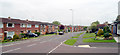
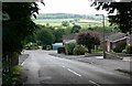
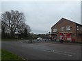
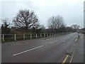
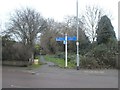
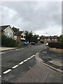
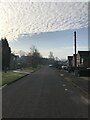
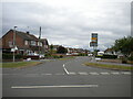
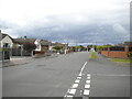
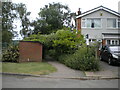
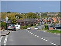
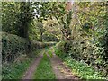
Living in Loughborough Outwoods & Shelthorpe Ward offers a distinct experience within the Charnwood district of Leicestershire. This district borough unitary ward covers a compact area of 6.9 square kilometres and is situated in the East Midlands region. The population stands at approximately 1,458 residents, creating a quiet and settled atmosphere. The ward lies within the market town of Loughborough and historically borders Charnwood Forest. You will find that Shelthorpe and Loughborough Outwoods were first distinguished in records around 1507. Shelthorpe developed significantly during the Victorian era, while Loughborough Outwoods remains a recognised suburb. The area is centred around specific coordinates, placing it firmly within the wider Leicestershire community. When considering homes in Loughborough Outwoods & Shelthorpe Ward, you are choosing a location with deep historical roots, stretching back over five centuries. The setting allows for a connection to the past while remaining part of the modern East Midlands infrastructure. This ward provides a residential scale that feels familiar yet distinctly local to the region.
- Area Type
- District Borough Unitary Ward
- Area Size
- 6.9 km²
- Population
- 1458
- Population Density
- 213 people/km²
Demographics
The community profile of Loughborough Outwoods & Shelthorpe Ward reflects a mature population structure. Data indicates a median age of 70 years, which is significantly higher than the national average. The most common age range covers the total population spectrum given the high median. Approximately 73% of residents own their homes outright, suggesting strong stability within the neighbourhood. The remaining 27% rent, though this figure implies a very small rental sector. Household composition data does not reveal a dominance of single-person or child-dependent households based on the specific metrics available. The area does not feature significant data regarding predominant ethnic groups or religious affiliations in the provided records. You will find that the demographic picture is defined almost entirely by the age profile and high homeownership rate. This suggests an area settled by families who have remained for a long period. Those planning to visit Loughborough Outwoods & Shelthorpe Ward should expect a mature community where residents have deep roots in the local geography.
Household Size
Accommodation Type
Tenure
Ethnic Group
Religion
Household Composition
Age
Household Deprivation
NS-SEC
Explore more demographic insights in this area
Go to Demographics tabPlanning
Planning Constraints
- Flood RiskPremium
- Ramsar Wetland SitesPremium
- Area of Outstanding Natural BeautyPremium
- Protected Nature ReservePremium
- Protected WoodlandPremium
- Crime RiskPremium