Area Overview for LN9 6PQ
Photos of LN9 6PQ
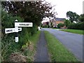
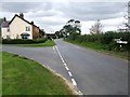
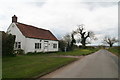
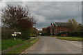
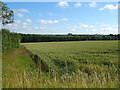
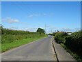
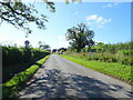
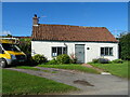
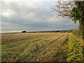
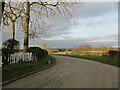
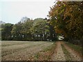
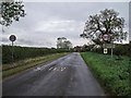
16 photos from this area
Area Information
Key information about the LN9 6PQ including its size, population, and administrative classification.
- Area Type
- Postcode
- Area Size
- 4.2 km²
- Population
- 2181
- Population Density
- 19 people/km²
House Prices in LN9 6PQ
50
Properties
£299,900
Average Sold Price
£84,000
Lowest Price
£520,000
Highest Price
Showing 50 properties
| Address | Type | Beds | Baths | Last Sale Price | Last Sale Date | |
|---|---|---|---|---|---|---|
| Highfield House, Main Road, Mareham On The Hill, LN9 6PQ | Detached | 5 | 3 | £490,000 | Jul 2025 | |
| Green Pastures, Main Road, Mareham On The Hill, LN9 6PQ | Bungalow | 3 | 1 | £290,000 | Sep 2024 | |
| Cathedral View, Main Road, Mareham On The Hill, LN9 6PQ | Detached | - | - | £520,000 | Oct 2023 | |
| The Sycamores, Main Road, Mareham On The Hill, LN9 6PQ | house | - | - | £375,000 | Oct 2021 | |
| Thatched Cottage, Main Road, Mareham On The Hill, LN9 6PQ | house | 2 | - | £250,000 | Jun 2021 | |
| Hawthorn House, Main Road, Mareham On The Hill, LN9 6PQ | house | - | - | £350,000 | Dec 2019 | |
| Honeysuckle Cottage, Main Road, Mareham On The Hill, LN9 6PQ | Detached | 5 | 2 | £220,000 | Apr 2018 | |
| The Old Smithy, Mareham Road, Mareham On The Hill, LN9 6PQ | house | - | - | £170,000 | Dec 2009 | |
| Field House, Mareham Road, Mareham On The Hill, LN9 6PQ | Detached | - | - | £250,000 | May 2004 | |
| Fairview, Main Road, Mareham On The Hill, LN9 6PQ | Detached | 5 | 2 | £84,000 | Mar 2000 |
Page 1 of 5
Energy Efficiency in LN9 6PQ
Amenities
Schools
| Rank | School | Type | Entry gender | Ages |
|---|
Explore more schools in this area
Go to Schools tabDemographics
Household Size
Two person
most common
Accommodation Type
Houses
most common
Tenure
79
majority
Ethnic Group
White
most common
Religion
N/A
most common
Household Composition
N/A
most common
Age
47
median
Adults (30-64 years)
most common
Household Deprivation
N/A
with no deprivation
NS-SEC
36
in Lower managerial occupations
Explore more demographic insights in this area
Go to Demographics tabPlanning
Planning Constraints
- Flood RiskPremium
- Ramsar Wetland SitesPremium
- Area of Outstanding Natural BeautyPremium
- Protected Nature ReservePremium
- Protected WoodlandPremium