Area Overview for LN9 6LS
Photos of LN9 6LS
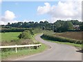
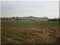
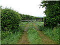
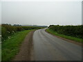
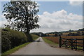
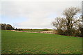
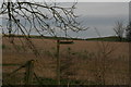
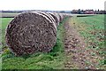
9 photos from this area
Area Information
Key information about the LN9 6LS including its size, population, and administrative classification.
- Area Type
- Postcode
- Area Size
- 2.4 km²
- Population
- 2181
- Population Density
- 19 people/km²
House Prices in LN9 6LS
10
Properties
£172,500
Average Sold Price
£160,000
Lowest Price
£185,000
Highest Price
Showing 10 properties
| Address | Type | Beds | Baths | Last Sale Price | Last Sale Date | |
|---|---|---|---|---|---|---|
| Tree Tops, Oxcombe Road, Belchford, LN9 6LS | Bungalow | - | - | £160,000 | Oct 2015 | |
| Lane End, Oxcombe Road, Belchford, LN9 6LS | Detached | - | - | £185,000 | May 2004 | |
| Top Yard, Oxcombe Road, Belchford, LN9 6LS | Farm | - | - | - | - | |
| Caravan At, Eastfield Farm, Oxcombe Road, Belchford, LN9 6LS | Mobile Home | - | - | - | - | |
| Eastfield Farm, Oxcombe Road, Belchford, LN9 6LS | Detached | - | - | - | - | |
| Glebe Farm, Oxcombe Road, Belchford, LN9 6LS | storage_distribution | - | - | - | - | |
| Glebe Farm Cottage, Oxcombe Road, Belchford, LN9 6LS | Detached | - | - | - | - | |
| Warth Beck House, Oxcombe Road, Belchford, LN9 6LS | Detached | - | - | - | - | |
| Avoca House, Oxcombe Road, Belchford, LN9 6LS | house | - | - | - | - | |
| Pinecroft, Oxcombe Road, Belchford, LN9 6LS | Bungalow | - | - | - | - |
Energy Efficiency in LN9 6LS
Amenities
Schools
| Rank | School | Type | Entry gender | Ages |
|---|
Explore more schools in this area
Go to Schools tabDemographics
Household Size
Two person
most common
Accommodation Type
Houses
most common
Tenure
79
majority
Ethnic Group
White
most common
Religion
N/A
most common
Household Composition
N/A
most common
Age
47
median
Adults (30-64 years)
most common
Household Deprivation
N/A
with no deprivation
NS-SEC
36
in Lower managerial occupations
Explore more demographic insights in this area
Go to Demographics tabPlanning
Planning Constraints
- Flood RiskPremium
- Ramsar Wetland SitesPremium
- Area of Outstanding Natural BeautyPremium
- Protected Nature ReservePremium
- Protected WoodlandPremium