Area Overview for LN9 6LR
Photos of LN9 6LR
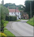
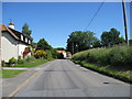
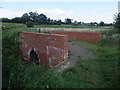
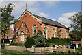
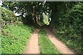
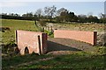
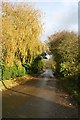
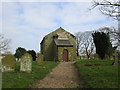
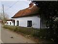
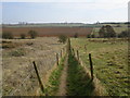
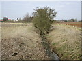
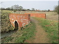
52 photos from this area
Area Information
Key information about the LN9 6LR including its size, population, and administrative classification.
- Area Type
- Postcode
- Area Size
- 2.7 hectares
- Population
- 2181
- Population Density
- 19 people/km²
House Prices in LN9 6LR
13
Properties
£354,300
Average Sold Price
£71,000
Lowest Price
£675,000
Highest Price
Showing 13 properties
| Address | Type | Beds | Baths | Last Sale Price | Last Sale Date | |
|---|---|---|---|---|---|---|
| The Leas, Chapel Lane, Belchford, LN9 6LR | house | 3 | 2 | £675,000 | Jul 2024 | |
| Yew Tree House, Chapel Lane, Belchford, LN9 6LR | house | 4 | 2 | £543,000 | Jul 2024 | |
| The Old Chapel, Chapel Lane, Belchford, LN9 6LR | Detached | 4 | 3 | £415,000 | Jan 2023 | |
| Chapel House, Chapel Lane, Belchford, LN9 6LR | Detached | 4 | 2 | £400,000 | Dec 2022 | |
| Apple Thorn, Chapel Lane, Belchford, LN9 6LR | house | - | - | £478,000 | Oct 2020 | |
| Kenilworth, Chapel Lane, Belchford, LN9 6LR | Detached | - | - | £247,000 | Nov 2017 | |
| Woldsview, Chapel Lane, Belchford, LN9 6LR | Detached | 5 | - | £280,000 | Mar 2015 | |
| Glendale, Chapel Lane, Belchford, LN9 6LR | Retail | 4 | - | £214,000 | Oct 2010 | |
| Field House, Chapel Lane, Belchford, LN9 6LR | Detached | - | - | £220,000 | Dec 2003 | |
| Broomfield, Chapel Lane, Belchford, LN9 6LR | Detached | - | - | £71,000 | Sep 1999 |
Page 1 of 2
Energy Efficiency in LN9 6LR
Amenities
Schools
| Rank | School | Type | Entry gender | Ages |
|---|
Explore more schools in this area
Go to Schools tabDemographics
Household Size
Two person
most common
Accommodation Type
Houses
most common
Tenure
79
majority
Ethnic Group
White
most common
Religion
N/A
most common
Household Composition
N/A
most common
Age
47
median
Adults (30-64 years)
most common
Household Deprivation
N/A
with no deprivation
NS-SEC
36
in Lower managerial occupations
Explore more demographic insights in this area
Go to Demographics tabPlanning
Planning Constraints
- Flood RiskPremium
- Ramsar Wetland SitesPremium
- Area of Outstanding Natural BeautyPremium
- Protected Nature ReservePremium
- Protected WoodlandPremium