Area Overview for LN9 6AL
Photos of LN9 6AL
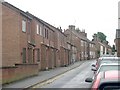
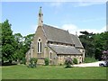
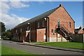

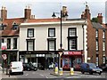
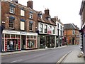
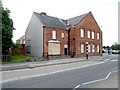
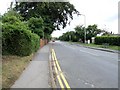
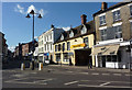
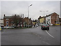
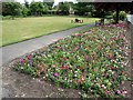
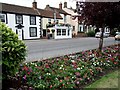
100 photos from this area
Area Information
Key information about the LN9 6AL including its size, population, and administrative classification.
- Area Type
- Postcode
- Area Size
- 2.3 hectares
- Population
- 1893
- Population Density
- 2318 people/km²
House Prices in LN9 6AL
17
Properties
£141,071
Average Sold Price
£26,000
Lowest Price
£290,000
Highest Price
Showing 17 properties
| Address | Type | Beds | Baths | Last Sale Price | Last Sale Date | |
|---|---|---|---|---|---|---|
| 12 Spilsby Road, Horncastle, LN9 6AL | house | 2 | 1 | £250,000 | Feb 2024 | |
| 30 Spilsby Road, Horncastle, LN9 6AL | house | - | - | £84,000 | Mar 2019 | |
| 5 Spilsby Road, Horncastle, LN9 6AL | house | - | - | £185,000 | Aug 2015 | |
| 1 Spilsby Road, Horncastle, LN9 6AL | Detached | - | - | £93,000 | Jun 2012 | |
| 28 Spilsby Road, Horncastle, LN9 6AL | house | - | - | £59,500 | Jul 2004 | |
| 32 Spilsby Road, Horncastle, LN9 6AL | house | - | - | £26,000 | Nov 2000 | |
| Prime Life Limited, Netherlands Residential Home, Spilsby Road, Horncastle, LN9 6AL | Retirement | - | - | £290,000 | Dec 1997 | |
| Bokhanger Lodge, 7 Spilsby Road, Horncastle, LN9 6AL | Detached | 4 | 2 | - | - | |
| 1-3 Spilsby Road, Horncastle, LN9 6AL | Semi-detached | 2 | - | - | - | |
| 3 Spilsby Road, Horncastle, LN9 6AL | Semi-detached | - | - | - | - |
Page 1 of 2
Energy Efficiency in LN9 6AL
Amenities
Schools
| Rank | School | Type | Entry gender | Ages |
|---|
Explore more schools in this area
Go to Schools tabDemographics
Household Size
One person
most common
Accommodation Type
Houses
most common
Tenure
49
majority
Ethnic Group
White
most common
Religion
N/A
most common
Household Composition
N/A
most common
Age
47
median
Adults (30-64 years)
most common
Household Deprivation
N/A
with no deprivation
NS-SEC
27
in Lower managerial occupations
Explore more demographic insights in this area
Go to Demographics tabPlanning
Planning Constraints
- Flood RiskPremium
- Ramsar Wetland SitesPremium
- Area of Outstanding Natural BeautyPremium
- Protected Nature ReservePremium
- Protected WoodlandPremium