Area Overview for LN6 7NH
Photos of LN6 7NH
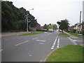
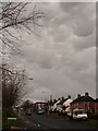
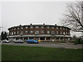
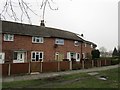
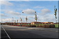
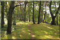

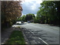
22 photos from this area
Area Information
Key information about the LN6 7NH including its size, population, and administrative classification.
- Area Type
- Postcode
- Area Size
- 4.4 hectares
- Population
- 1665
- Population Density
- 4435 people/km²
House Prices in LN6 7NH
40
Properties
£142,250
Average Sold Price
£88,000
Lowest Price
£182,000
Highest Price
Showing 40 properties
| Address | Type | Beds | Baths | Last Sale Price | Last Sale Date | |
|---|---|---|---|---|---|---|
| 87 Moorland Avenue, Lincoln, LN6 7NH | Terraced | 4 | - | £182,000 | Feb 2024 | |
| 93 Moorland Avenue, Lincoln, LN6 7NH | Terraced | 4 | 1 | £160,000 | Aug 2020 | |
| 79 Moorland Avenue, Lincoln, LN6 7NH | Semi-detached | 3 | 1 | £172,000 | Jul 2020 | |
| 127 Moorland Avenue, Lincoln, LN6 7NH | house | - | - | £112,500 | Oct 2018 | |
| 77 Moorland Avenue, Lincoln, LN6 7NH | Terraced | 3 | 2 | £146,500 | May 2018 | |
| 71 Moorland Avenue, Lincoln, LN6 7NH | Terraced | - | - | £150,000 | Sep 2017 | |
| 121 Moorland Avenue, Lincoln, LN6 7NH | Terraced | 3 | 2 | £127,000 | Oct 2015 | |
| 101 Moorland Avenue, Lincoln, LN6 7NH | house | - | - | £88,000 | Jan 2010 | |
| 123 Moorland Avenue, Lincoln, LN6 7NH | house | 3 | 1 | - | - | |
| 135A Moorland Avenue, Lincoln, LN6 7NH | Flat | - | - | - | - |
Page 1 of 4
Energy Efficiency in LN6 7NH
Amenities
Schools
| Rank | School | Type | Entry gender | Ages |
|---|
Explore more schools in this area
Go to Schools tabDemographics
Household Size
One person
most common
Accommodation Type
Houses
most common
Tenure
23
majority
Ethnic Group
White
most common
Religion
N/A
most common
Household Composition
N/A
most common
Age
47
median
Adults (30-64 years)
most common
Household Deprivation
N/A
with no deprivation
NS-SEC
11
in Lower managerial occupations
Explore more demographic insights in this area
Go to Demographics tabPlanning
Planning Constraints
- Flood RiskPremium
- Ramsar Wetland SitesPremium
- Area of Outstanding Natural BeautyPremium
- Protected Nature ReservePremium
- Protected WoodlandPremium